

Ireland North
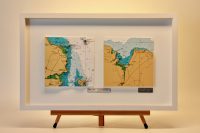
Skerries & Killala Bay, Story Board
This is our Storyboard Chart Range – Each 3D captures an event which could be a home port, a favourite destination, a funny story, a memorable cruise or whatever you think is worth telling as a story. The events are grouped together in one frame to tell the story....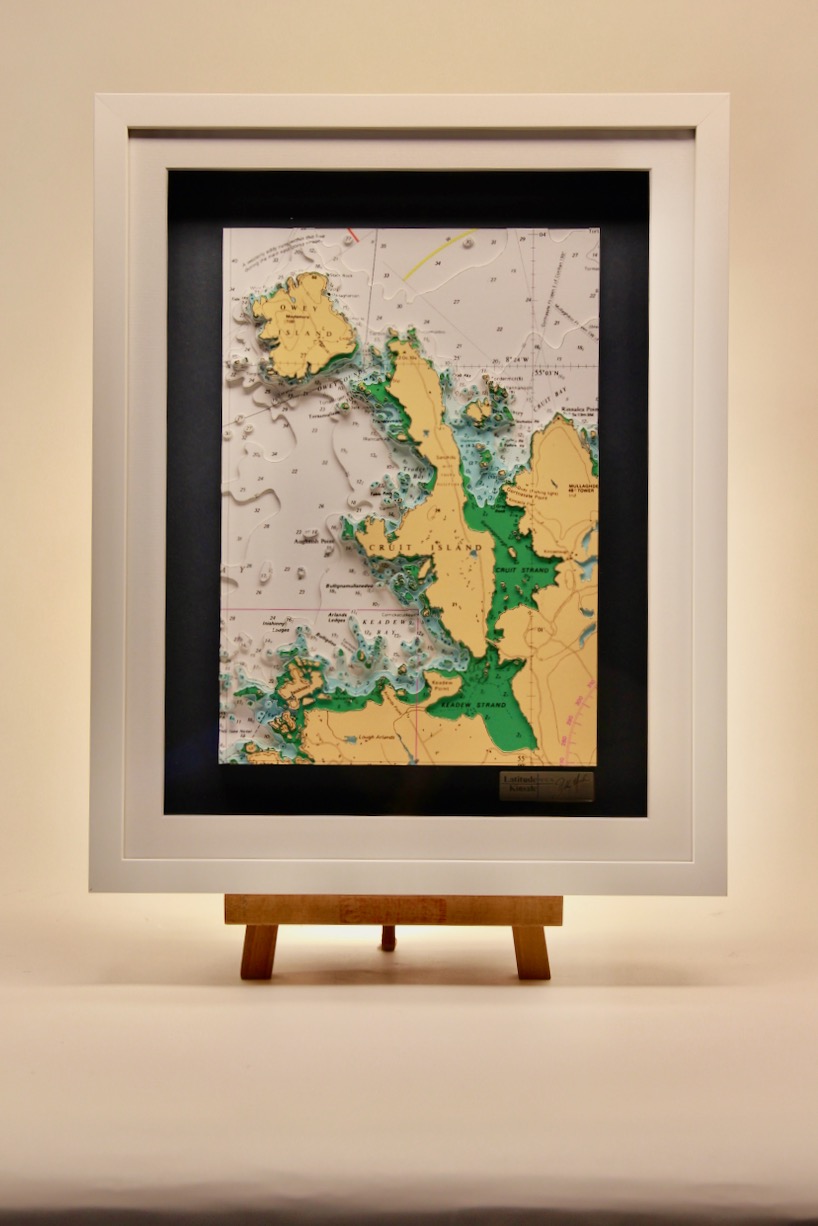
Owey & Cruit Islands
This lovely chart features Owey Island & Cruit Island. Cruit is a small inhabited island of the Rosses in County Donegal. It is linked to the mainland by bridge. The island is very beautiful and is dotted with sandy beaches all around its coastline. There are...
Broad haven Bay
The Mullet Peninsula or sometimes known as the Erris Peninsula is a large promontory connected to the mainland at Belmullet, on the northwestern coast of Co. Mayo. Its highly indented coastline creates a fascinating 3D chart. The peninsula’s doglegged shape forms two...
Sheephaven Bay, ORIGINS
This chart belongs to our Origins range. This chart features Sheephaven Bay, which is centred on the chart. It is shallow inlet on the north coast of County Donegal in Ireland, in between the peninsula of Rosguill to the east and Horn Head to the west. Horn Head...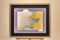
Donegal Bay, Colour
This is a lovely large chart of Donegal Bay in the northwest of Ireland. The town of Donegal and the River Eske lie at the head of the bay. Donegal Bay is Ireland’s largest bay, and also contains Ulster’s highest (and Ireland’s’s second-highest) sea cliffs at Slieve...
Killinure Lough Ree, ORIGINS
This chart belongs to our Origins range. This chart features Killinure Lough. This piece covers from Ballykeeran to Sandy Bay on the west and there are several small islands such as Friars Island shown but the biggest of these is Hare Island. Killinure Lough is one of...
Rathlin O’Birne to Aran Island
Ireland’s northwest coast provides a wealth of rugged and wild scenery. The varied and interesting coastline on this chart stretches from Rathlin O’Birne to Aran Island. Rathlin O’Birne is an island located 2km west of the Malin Beg coastline at the south-west tip of...
Mulranny, Newport, ORIGINS B&W
This chart belongs to our Origins range. This chart features the area between Mulranny and Newport in Clew Bay which is a natural ocean bay in County Mayo. Mulranny is a seaside village on the isthmus between Clew Bay and Blacksod Bay in County Mayo, Ireland....