
North America

Nicaragua & Costa Rica, B&W
Nicaragua is the largest country in the Central American republics, framed by volcanic peaks and expansive waters. It is bounded by Honduras to the north, the Caribbean Sea to the east, Costa Rica to the south, and the Pacific Ocean to the west. Nicaragua. It features...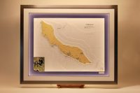
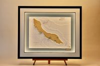
Curacao, insert Spaanse Bay
Curacao is a coral‑limestone island with arid hills, rugged cliffs, and sheltered southern inlets. Its coast features deep bays such as Spaanse Bay, Piscadera Bay, and Sint Anna Bay. Offshore, flat, sandy Klein Curacao sits amid turquoise water and surrounding reefs....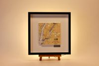
New York, ORIGINS
This chart from our Origins range features New York. This chart proved challenging because of the numerous bridges and piers, making precise hand‑cutting difficult. In the end, though, the finished piece turned out beautifully. The Hudson River cuts a bold, deep...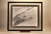
Long Island Sound
Long Island’s coastline and landscape are captivatingly portrayed in this chart, offering a fresh view and a new sense of joy each time you explore it. Long Island Sound is a tidal estuary between Long Island and the coasts of Connecticut and Westchester County,...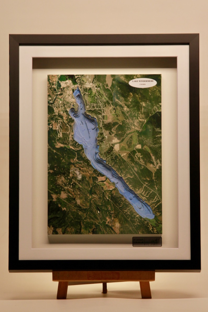
Lake Windermere, Canada
Lake Windermere is a long, shallow lake along the Columbia River, bordered by the Rocky Mountains and Purcell Mountains. It is the most heavily used waterway in the Columbia Valley, known for warm summer waters, sandy shores, and sheltered bays. The village of...
Vancouver island, B&W Light Chart
This classic B&W sector light chart features Vancouver Island. It is a mountainous, forested island on Canada’s Pacific coast, edged by rugged shores, deep fjords, and sheltered straits, forming a major waypoint between the Salish Sea and open Pacific. Nautical...
Straits of Florida
This beautiful chart features Straits of Florida, the J-shaped channel between southeastern Florida and the Bahamas, and the Florida Keys and Cuba. About 150 km wide, they are home to the Florida Current, the start of the Gulf Stream. The straits are vital for marine...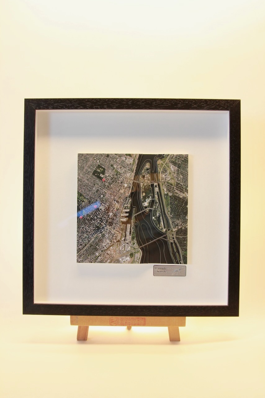
Montreal, ORIGINS
This chart belongs to our Origins range. This was a very interesting 3D chart features Montreal. Montréal is the largest city in Canada’s Québec province. It’s set on an island in the Saint Lawrence River and named after Mt. Royal, the triple-peaked hill at its...