
Portfolio
Browse our portfolio of previous commissions for inspiration…
We have completed exciting projects all over the world – the portfolio will give you an idea of what’s possible.
Chart types, framing inspiration, lighting and size all play a part in creating your ideal piece
Click on any chart below to see the gallery of work or use the navigation to the left to see a particular region…
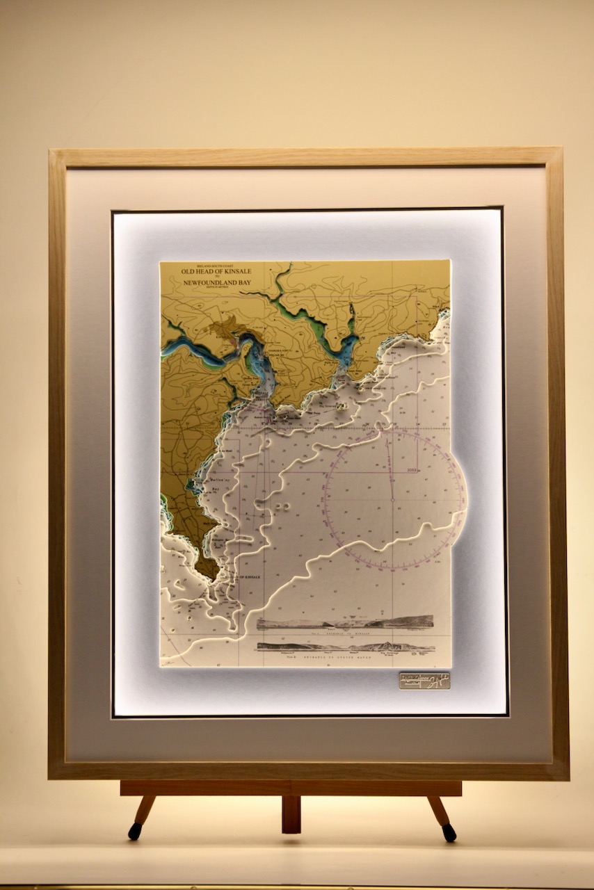
Old Head of Kinsale to Newfoundland bay
This chart features the Old Head of Kinsale to Newfoundland bay. An unusual feature is the inclusion of the land elevations, which show how a sailor would see the entrance to the harbour in their approach from the sea. Bulman Rock, Big Sovereign and Little Sovereign...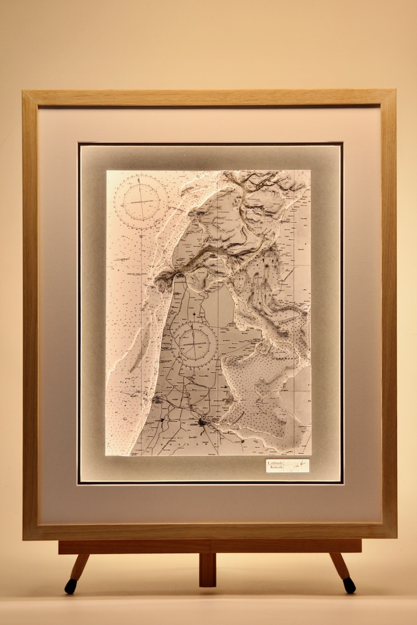
The IJsselmeer (Lake IJssel)
The IJsselmeer also known as Lake IJssel in English, is a closed off inland bay in the northern and central Netherlands. It covers an area of 1,100 km2 with an average depth of 5.5 metres, the IJsselmeer is the biggest lake in Netherlands. What is special about the...
Cascais
The coastline is beautifully portrayed of Cascais, in Portugal on this chart. Cascais, located on the Portuguese Riviera, is a captivating coastal resort town just west of Lisbon. It’s known for its sandy beaches and busy marina. Cabo da Roca is the most westerly...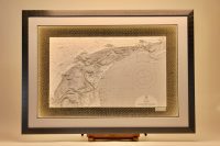
Texel to Schiermonnikoog
The Wadden Islands, also known as the Frisian Islands form an archipelago at the eastern edge of the North Sea in northwestern Europe, stretching from the north-west of the Netherlands through Germany to the west of Denmark. The islands shield the mudflat region of...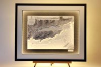
Bear island
Bear Island (or Bere Island) lies between Berehaven Harbour and Bantry Bay in West Cork, just off the port of Castletownbere. Due to the island’s strategic location, Bere Island has a very interesting heritage. It is rich in archaeological sites including ring forts,...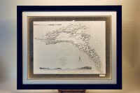
Lower Lough Erne Co. Fermanagh
This chart features the southern section of Lower Lough Erne, Co. Fermanagh. The town of Enniskillen lies on the short stretch of river between Upper Lough Erne and Lower Lough Erne. The lake has 154 islands along with many coves and inlets. This adds to the...
Promontorio Argentario, Giglio, Civita Vecchia
Promontorio dell’Argentario is the central focal point for this 3D chart. It is located along the Tuscan coast between the Island of Giglio and the Island of Giannutri and is part of the Cetacean Sanctuary classified as a Specially Protected Area of...
Northeast Mallorca, Pollensa & Alcudia
This chart features Alcúdia(Alcudia) and Pollença(Pollensa) in the northeast coast of Majorca (Mallorca). The key features of the area are the two bays, Bahia de Pollensa & Bahia de Alcudia. Both are popular resorts with sheltered harbours. To the east is the...