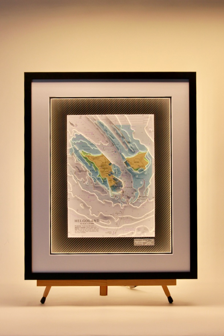
North Sea/ Baltic / Norwegian
North Sea Southern Section, Light Chart
This sector light chart features North Sea Southern Section with a black frame. Nautical charts have instant appeal to anyone with an interest in the sea. The Coastal Light Chart transforms the nautical chart into an active and decorative piece of art. The...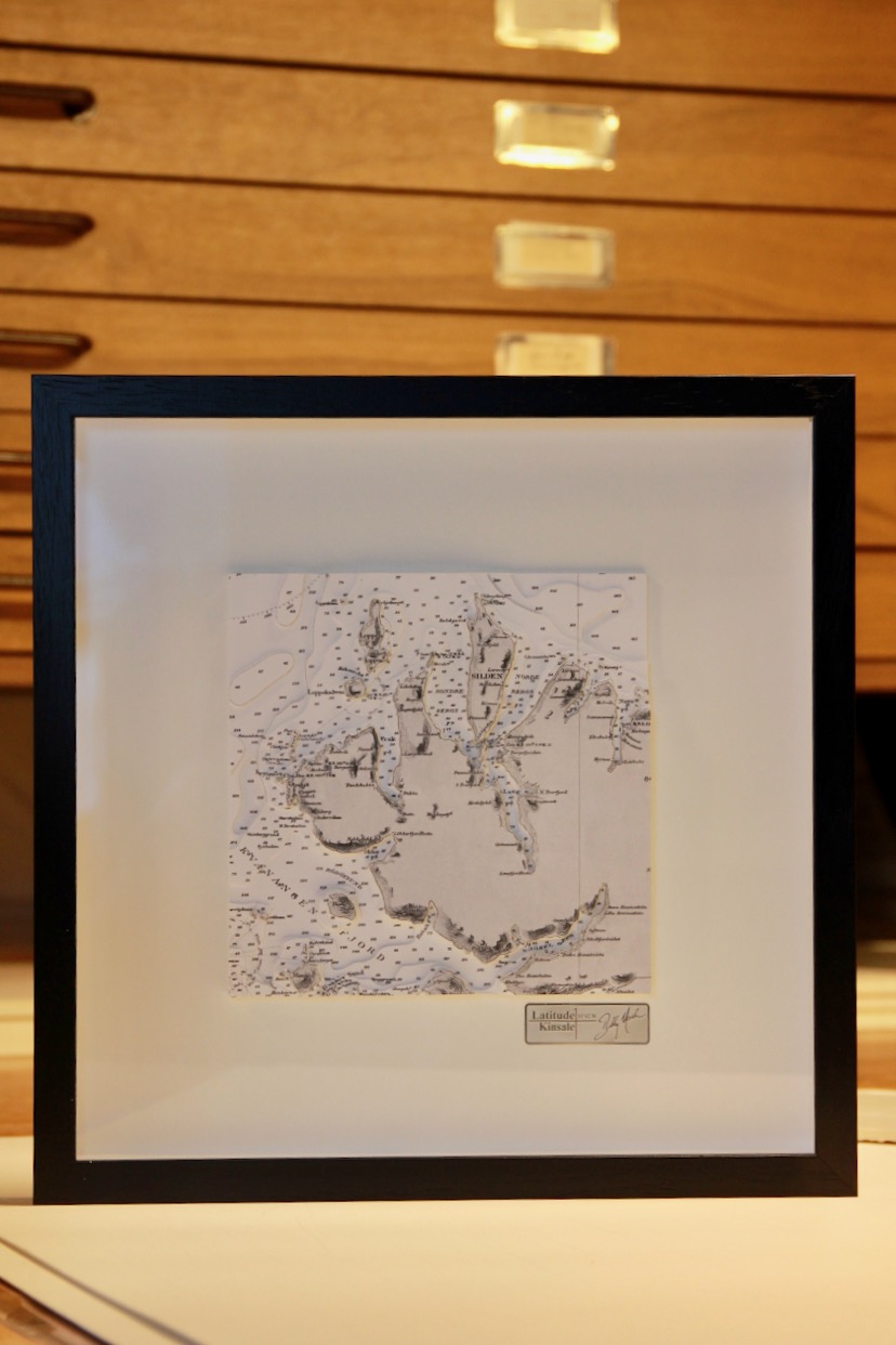
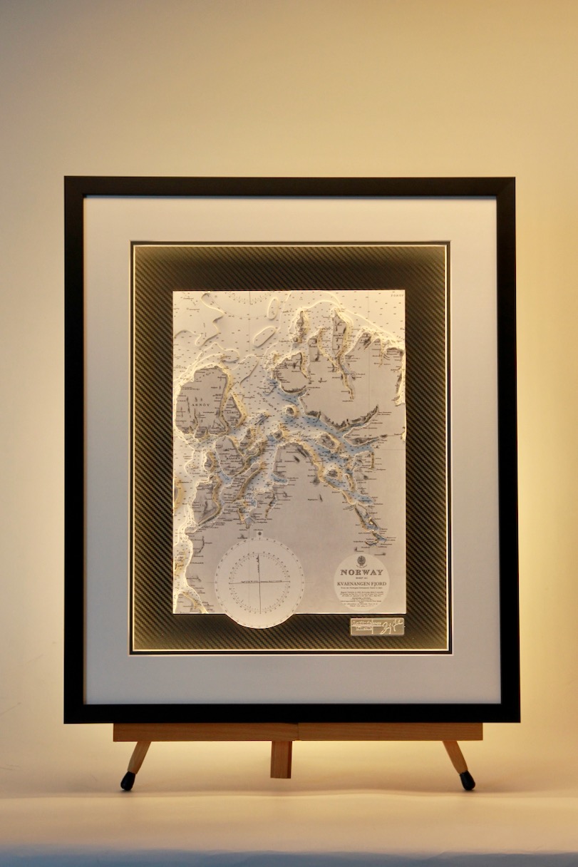
Kvaenangen Fjord ORIGINS B&W
This chart from our Origins range. Kvænangen Fjord is a spectacular Arctic waterway in Northern Norway, slicing through the dramatic, glacier-carved mountains of Troms. Known for its deep waters, rich marine life, and striking landscapes, the fjord is a haven for...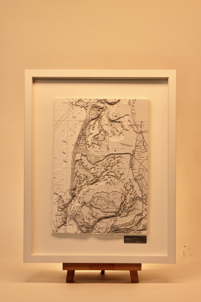
Sylt, Fohr, Amrum
This chart was particularly challenging to create due to the many piers and bridges—straight, narrow structures that are difficult to cut by hand. These makes the chart very detailed in 3D work and it is a very attractive chart as a result. Sylt, the northernmost...
Vanhankylanmaa & Haapasaari, Finland, ORIGINS
The outer archipelago of Kotka (often overlapping with the Eastern Gulf of Finland National Park) is characterised by its remote, rugged granite islands, historic pilot stations, and military history. The island of Haapasaari is divided into two parts by a bay:...
Flensburger Fjord
The Flensburger Förde, a fjord-like inlet forming part of the German–Danish border, features a deeply indented coastline of glacial cliffs, beaches, and small islands like the Okseøerne, with Als defining its outer opening. To the east, the Little Belt strait connects...
Söderhamn
Nestled along the picturesque Gulf of Bothnia in east-central Sweden’s Gävleborg County, the coastal municipality of Söderhamn is heavily shaped by the river Ljusnan, which empties into the Baltic Sea just south of the town center. Its deeply indented coastline...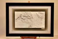
Flensburger Forde
Flensburger Förde is a long, fjord‑like inlet forming part of the German–Danish border on the western Baltic Sea. Its coastline alternates between gently sloping beaches, steep morainic cliffs, and rolling farmland shaped by the last Ice Age. Numerous bays, coves, and...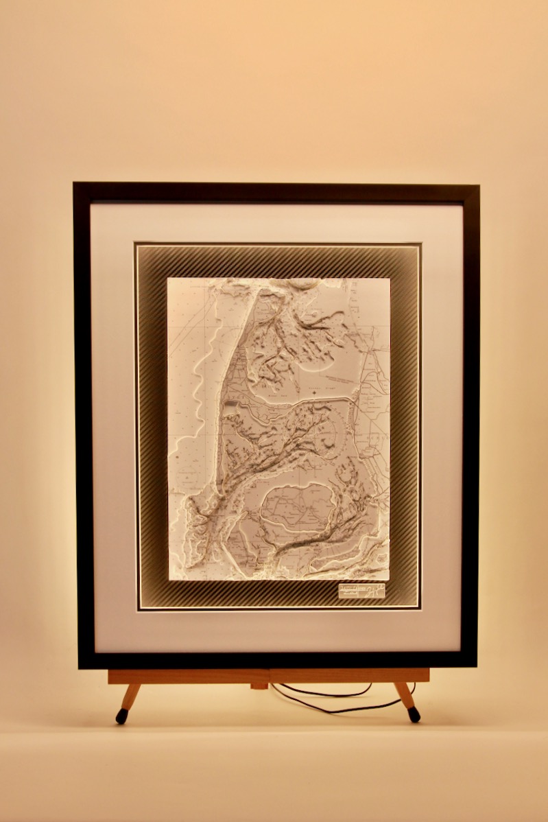
Sylt, B&W
This chart was particularly challenging to create due to the many piers and bridges—straight, narrow structures that are difficult to cut by hand. These makes the chart very detailed in 3D work and it is a very attractive chart as a result. It is finished with a vinyl...