
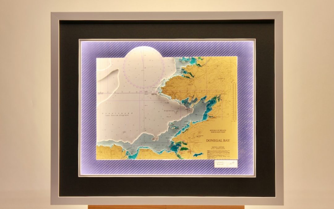

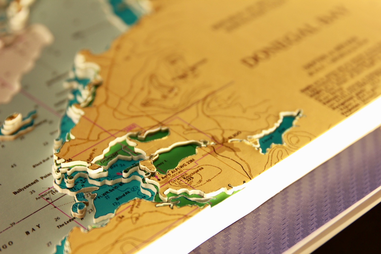

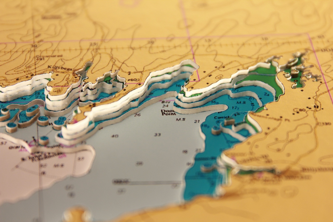

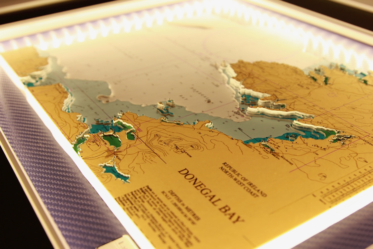
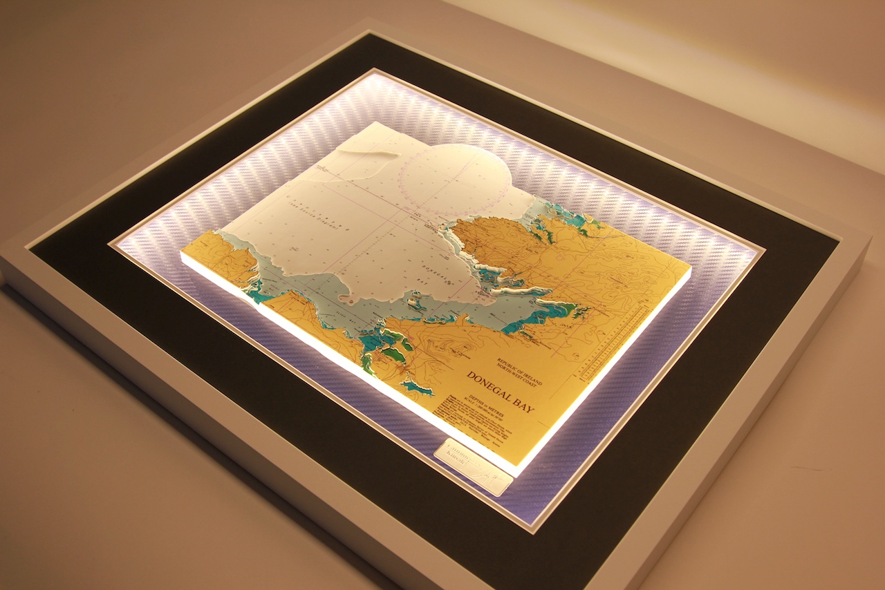


This is a lovely large chart of Donegal Bay in the northwest of Ireland. The town of Donegal and the River Eske lie at the head of the bay.
Donegal Bay is Ireland’s largest bay, and also contains Ulster’s highest (and Ireland’s’s second-highest) sea cliffs at Slieve League, which tower 601 metres above sea level.
The chart stretches from Dawros Head to Kilcummin Head, incudes Loughros More Bay, Malin more Head, Rathlin O’birne Island, Saint John’s Point, Doorin Point, Killybegs, Coolmore Bay, Ballyshannon, Mullaghmore Head, Inishmurray island, Ballyconnell Point, Lough gill, Sligo Bay and Killala Bay.
Specification: Location: Donegal Bay, Ireland
Chart: Modern Colour, UKHO
Frame: White
Size: 600*500mm
Double Surround Mount
Backing mount: Vinyl Carbon Blue
Surround lighting – LED 12V DC with Mains Interchangeable UK, Euro & US Plugtop
COMMISSION OPTIONS : Alternative options : Larger size, Colour modern charts. Framing options to suit all settings. Surround lighting with carbon backing. Design to match specific customer requirements.
Bobby Nash developed the Latitude Kinsale brand to be synonymous with quality, innovation and delivering excellence to any location in the world. The 3D chart’s are hand made to commission with care and attention to detail and to exacting standards gained from 20 years of experience. All materials used to create the 3D chart are paper based, acid free, age resistant, conservation quality, designed to protect the chart and achieve the highest levels of presentation for framing.
Any Chart, Anywhere in the World.