


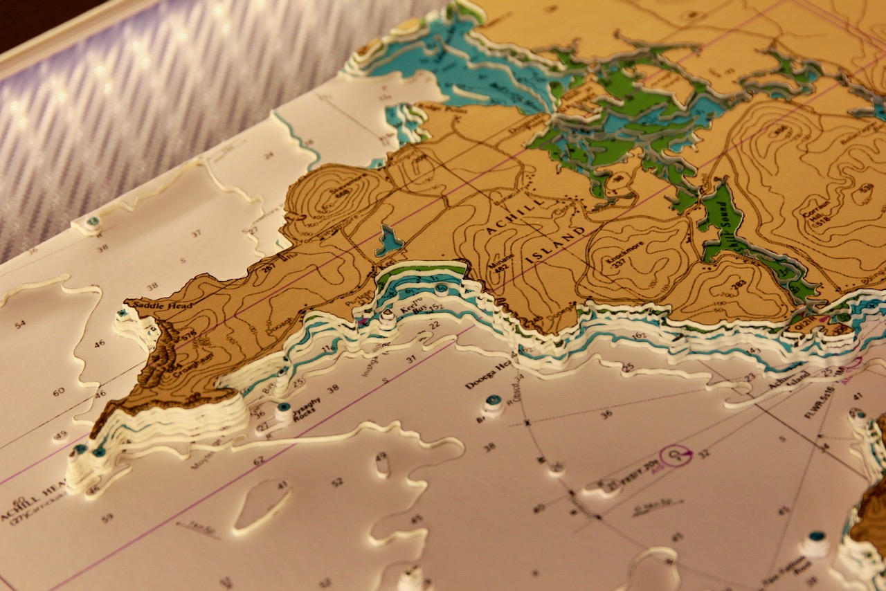


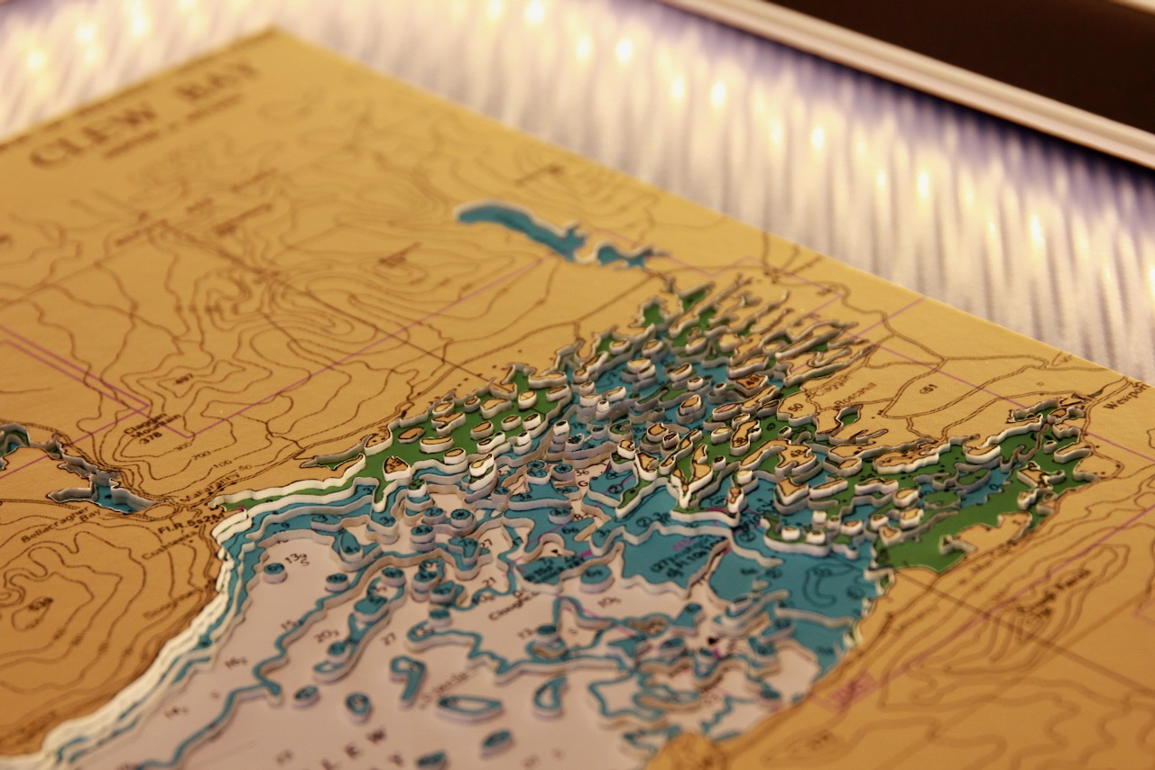
This chart features a beautiful part of the west of Ireland. It covers Achill Island to Inishbofin which is a small island off the coast of Connemara. Achill Island which is the largest island off the coast of Ireland and is attached to the mainland by a bridge.
The main focus is Clew Bay. It is a spectacular Mayo inlet dotted with hundreds of drumlin islands, framed by Croagh Patrick and Clare Island. Its shifting tides, rich wildlife, and glacial landscape make it one of Ireland’s most distinctive coastal scenes.
Clare Island is a striking, mountainous island guarding the mouth of Clew Bay. Known for its dramatic cliffs, medieval abbey, rare biodiversity, and strong seafaring heritage, it blends wild Atlantic scenery with deep cultural history.
This is a very attractive chart. Surround lighting illuminates the islands and coastline beautifully. A white frame and vinyl carbon mount completes the work.
Specification: Location: Clew Bay, Achill, Inishbofin, Ireland
Chart: Modern Colour, UKHO
Frame: White
Size: 750*750mm
Double Surround Mount
Backing mount: Vinyl carbon
Surround lighting – LED 12V DC with Mains Interchangeable UK, Euro & US Plugtop
COMMISSION OPTIONS : Alternative options : Larger size, Colour modern charts. Framing options to suit all settings. Surround lighting with carbon backing. Design to match specific customer requirements.
Bobby Nash developed the Latitude Kinsale brand to be synonymous with quality, innovation and delivering excellence to any location in the world. The 3D chart’s are hand made to commission with care and attention to detail and to exacting standards gained from 20 years of experience. All materials used to create the 3D chart are paper based, acid free, age resistant, conservation quality, designed to protect the chart and achieve the highest levels of presentation for framing.
Any Chart, Anywhere in the World.