
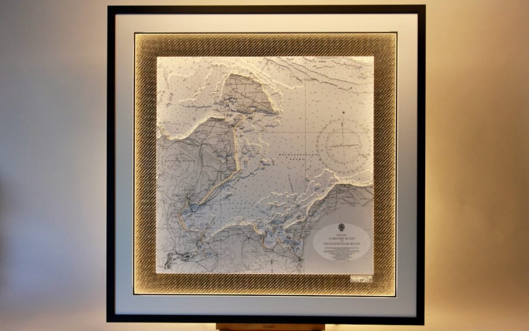
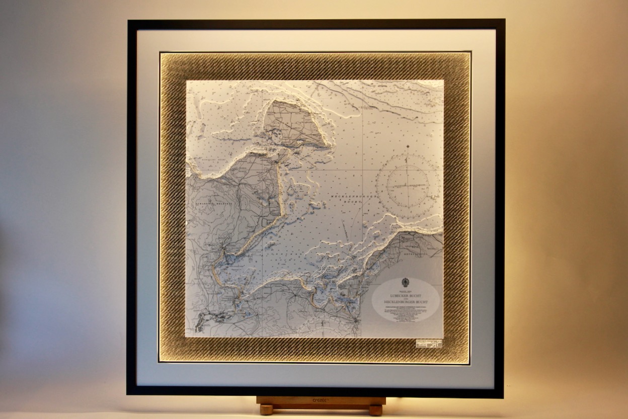
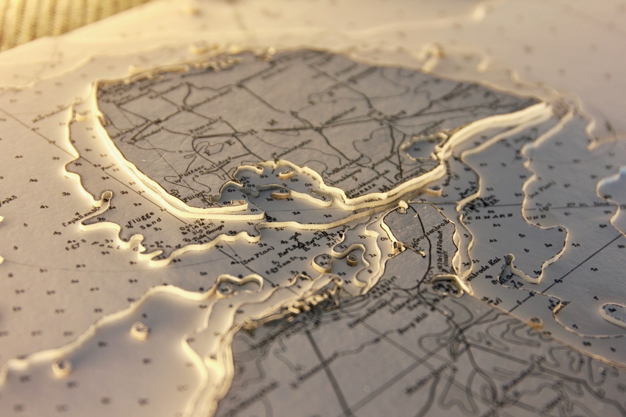
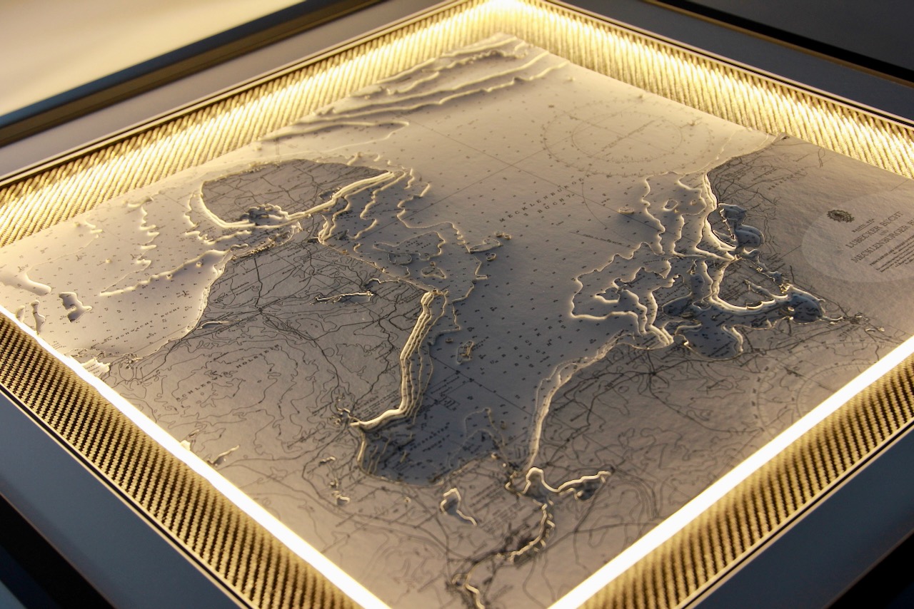
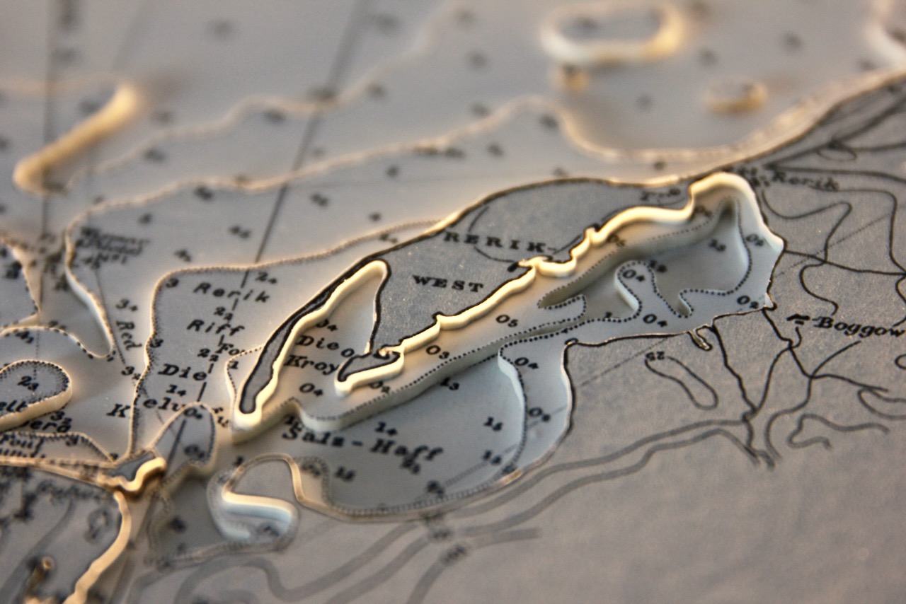
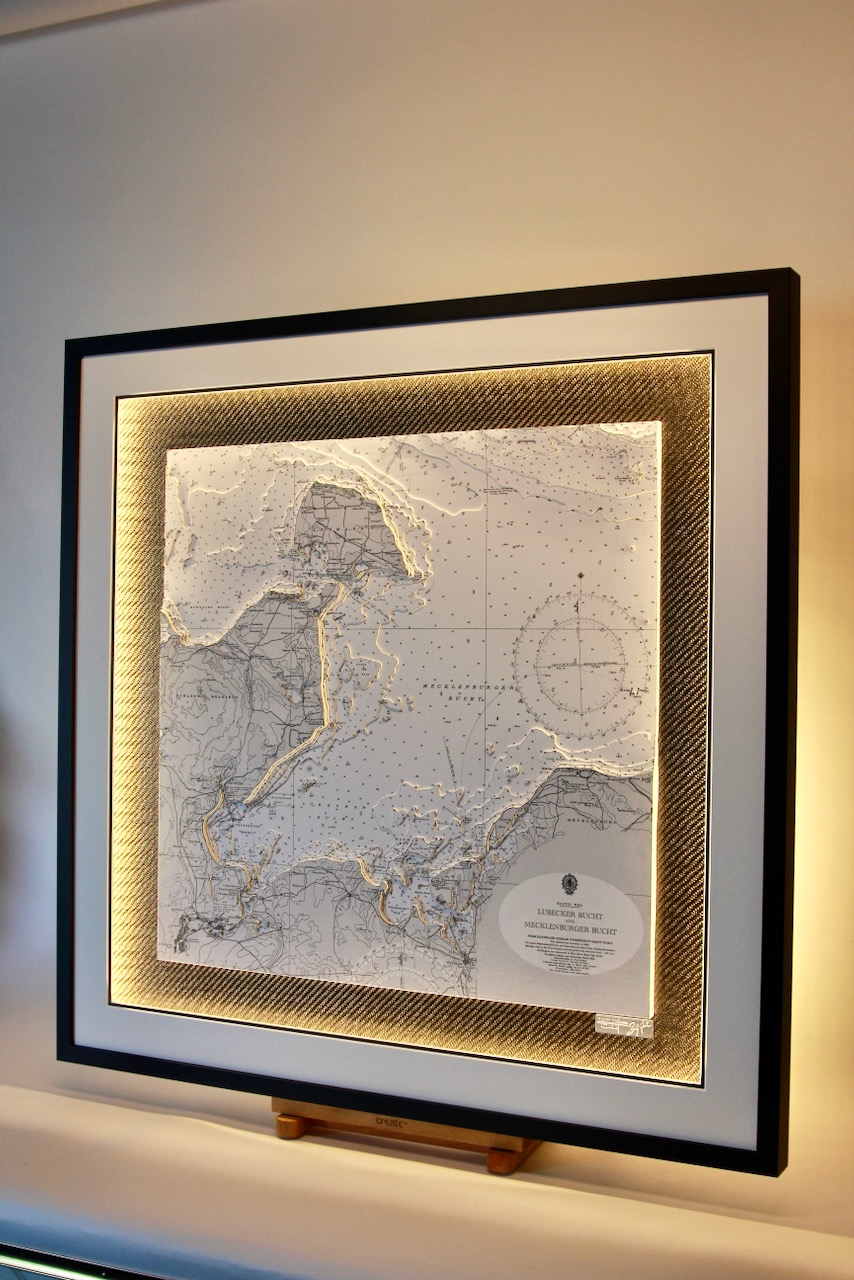
The Bay of Mecklenburg (German: Mecklenburger Bucht) is a long narrow basin making up the southwestern finger-like arm of the Baltic Sea, between the shores of Germany to the south and the Danish islands of Lolland, Falster, and Møn to the north, the shores of Jutland to the west, and joining the largest part of the Baltic to the east. It includes the Bay of Wismar and the Bay of Lübeck, connects to the Bay of Kiel in the northwest.
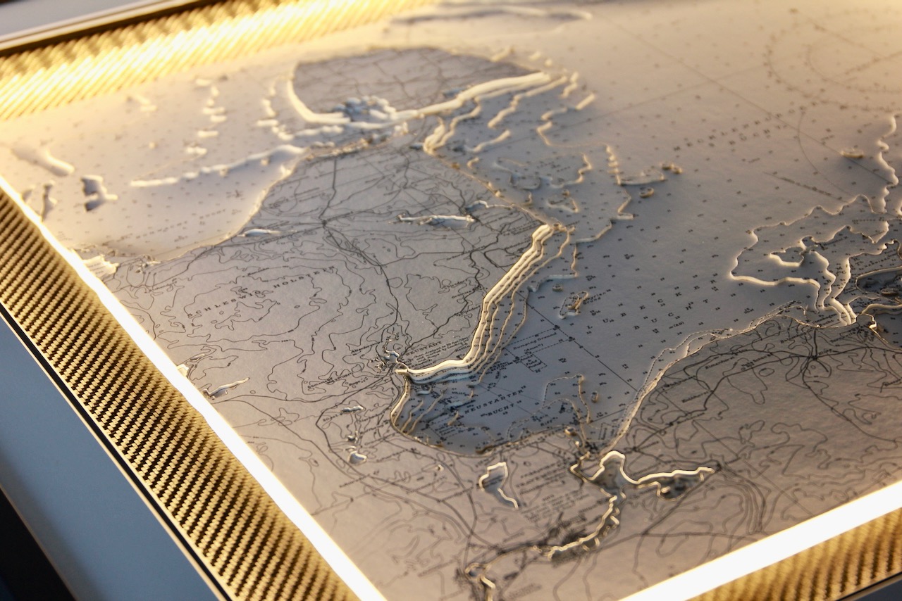
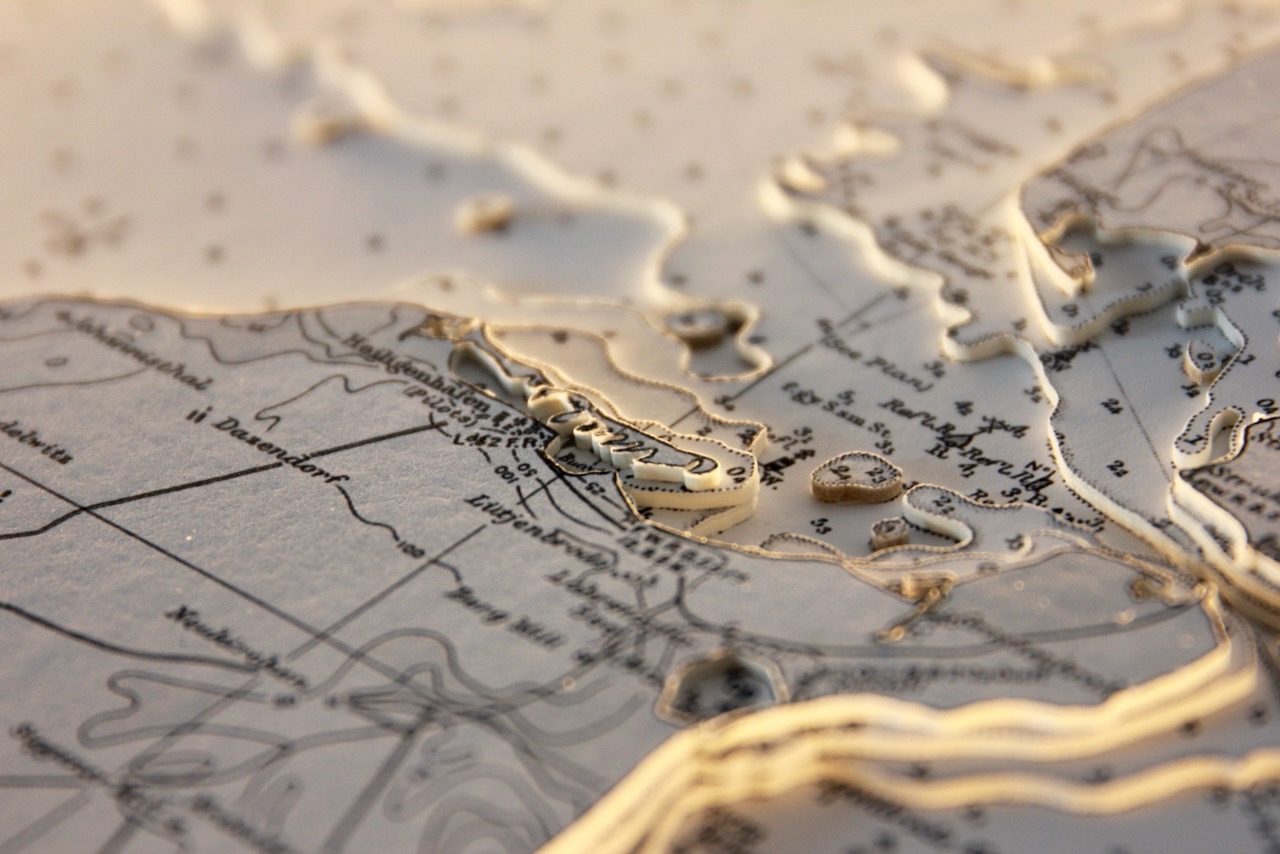
Travemünde is a borough of Lübeck, located at the mouth of the river Trave in Lübeck Bay. It is Germany’s largest ferry port on the Baltic Sea with connections to Sweden, Finland, Russia, Latvia and Estonia. A very popular area for leisure boat activities in the summer only as it gets very cold and sometimes freezes over.
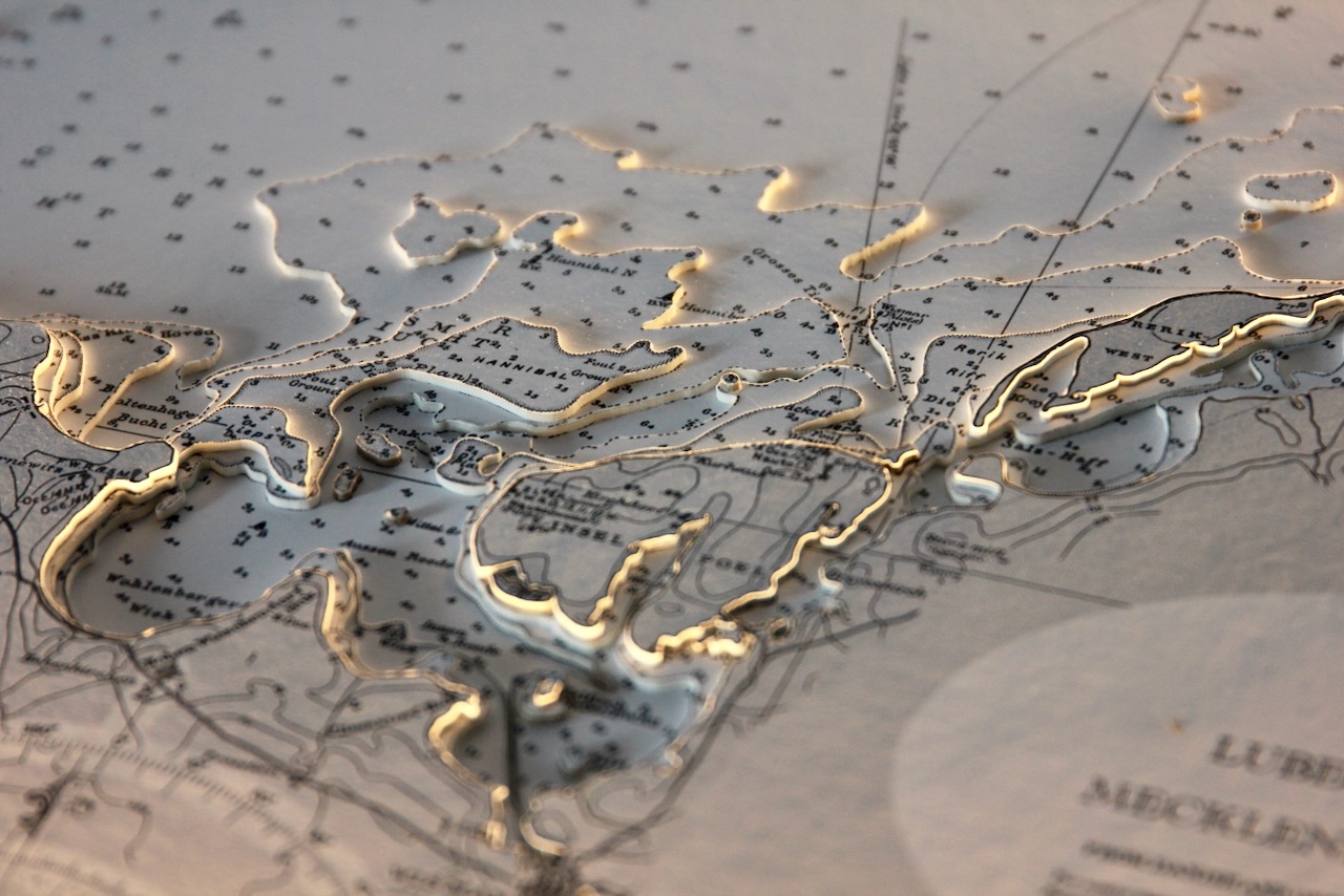
Fehmarn is separated from the German peninsula of Wagria in Holstein by the Fehmarn Sound, and from the southern Danish island of Lolland by the Fehmarn Belt. It is connected to the Holsatian mainland by the Fehmarn Sound Bridge.
Specification: Location: Lubecker & Mechlenburger Bucht, Germany
Chart: Classic B&W, UKHO
Frame: Black
Size: 850*850mm
Double Surround Mount
Backing mount: Carbon
Surround lighting – LED 12V DC with Mains Interchangeable UK, Euro & US Plugtop
COMMISSION OPTIONS : Alternative options : Larger size, Colour modern charts. Framing options to suit all settings. Surround lighting with carbon backing. Design to match specific customer requirements.
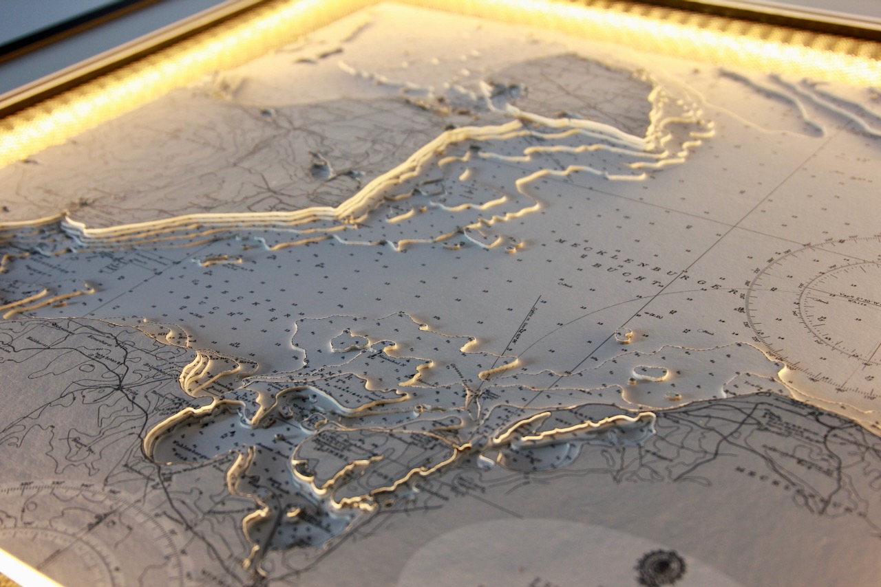
Bobby Nash developed the Latitude Kinsale brand to be synonymous with quality, innovation and delivering excellence to any location in the world. The 3D chart’s are hand made to commission with care and attention to detail and to exacting standards gained from 20 years of experience. All materials used to create the 3D chart are paper based, acid free, age resistant, conservation quality, designed to protect the chart and achieve the highest levels of presentation for framing.
Any Chart, Anywhere in the World.