
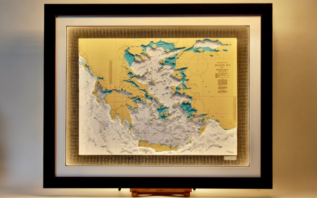
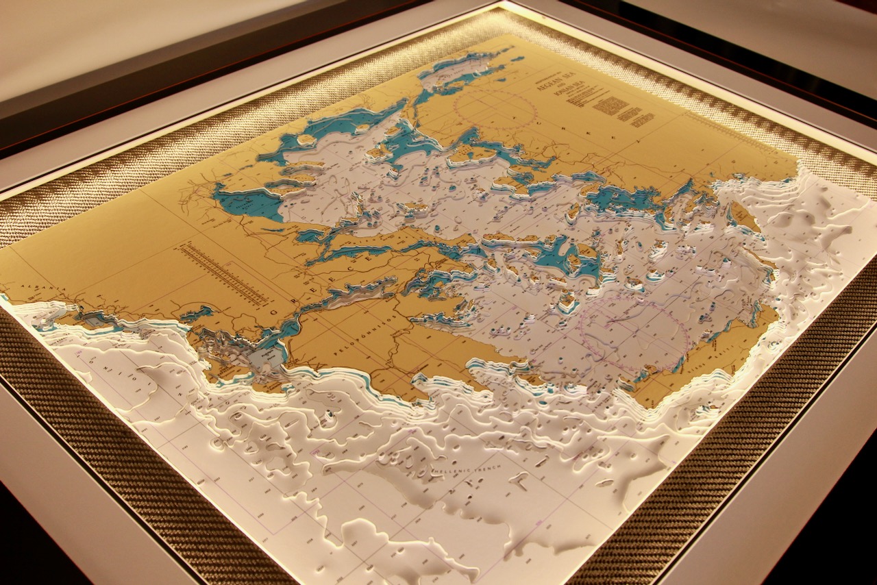
The Aegean Sea, lying between Greece and Turkey, is dotted with countless islands and shaped by deep blue waters and rugged coastlines. To the west, the Ionian Sea offers calmer, deeper waters, dramatic cliffs, and lush green islands. Together, they form two distinct yet iconic maritime regions of the Mediterranean.
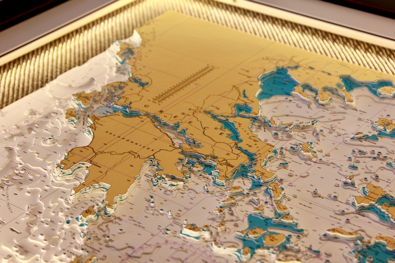
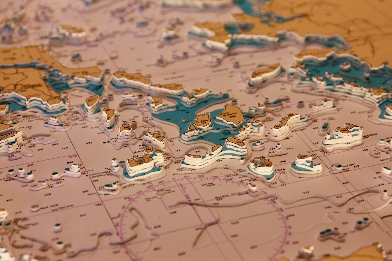
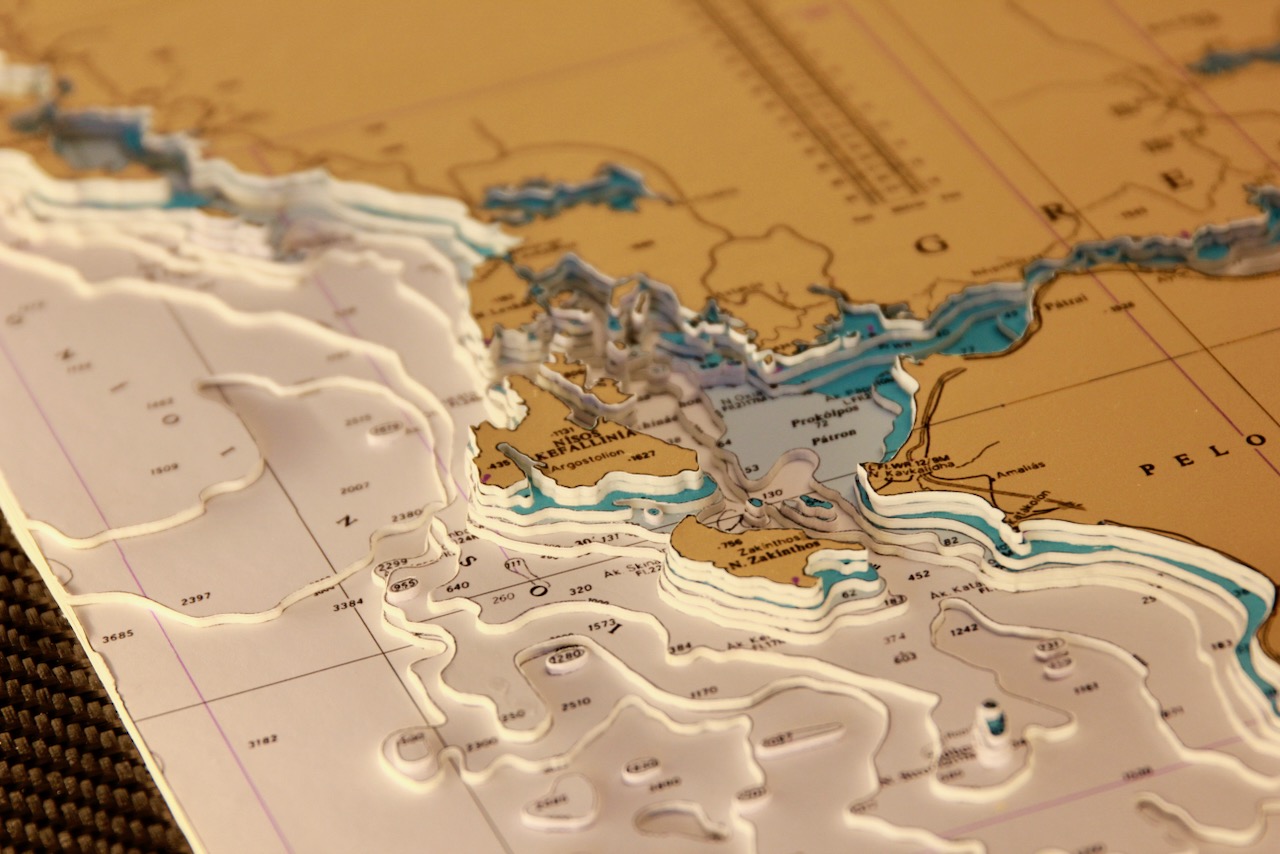
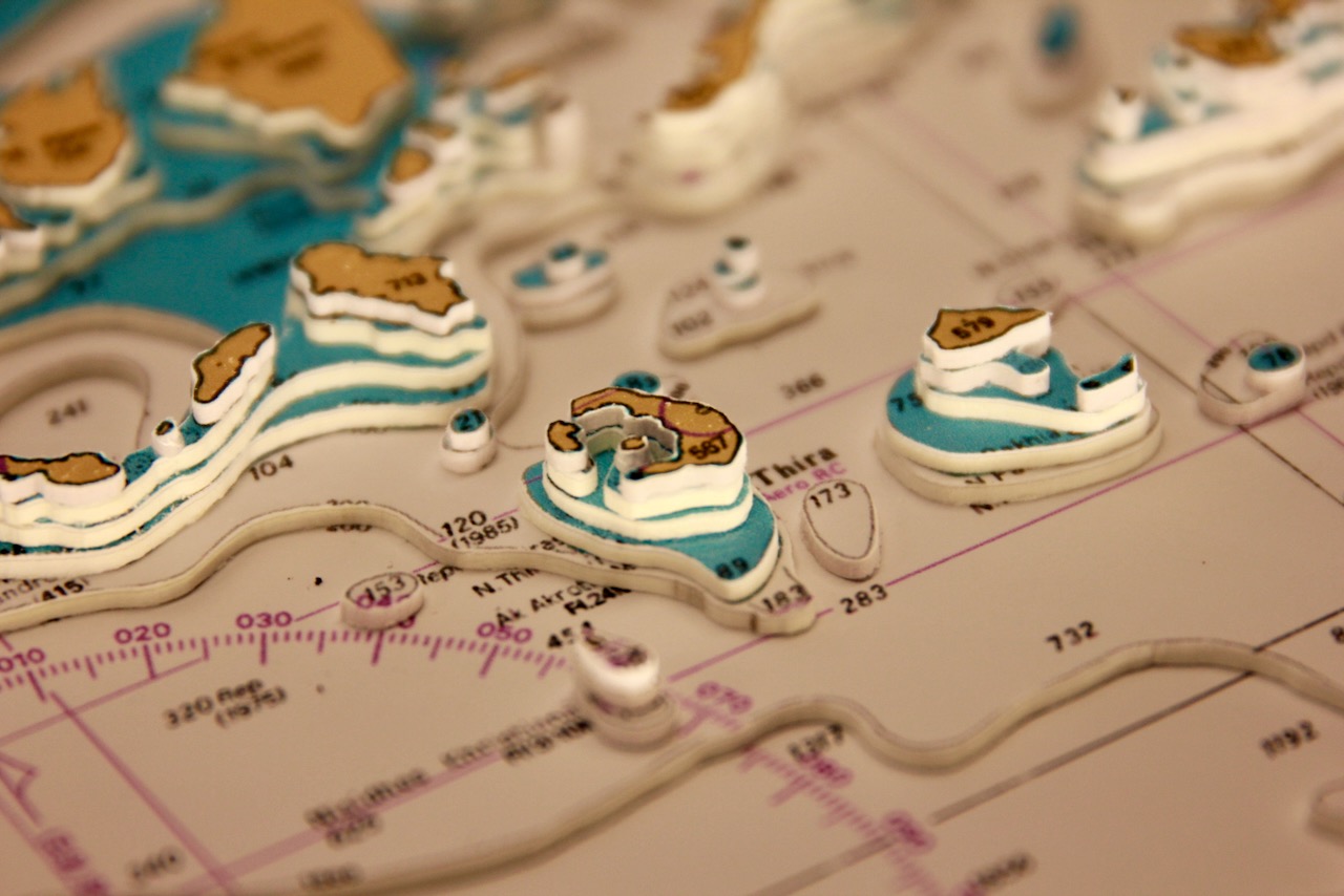
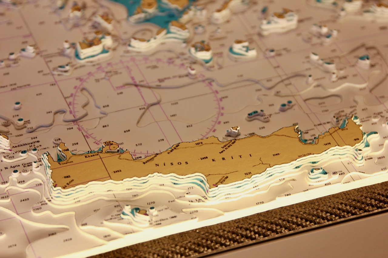
The Aegean connects to the Black Sea through the Dardanelles, the Sea of Marmara, and the Bosporus, with Crete marking its southern boundary. Many islands lie within or along its edges, including Crete and Rhodes. Particularly striking is the detailed scattering of Greek islands across the Aegean—large islands such as Evvoia, Kriti, Khios, Lesvos, and Rodhos all stand out clearly in its seascape.
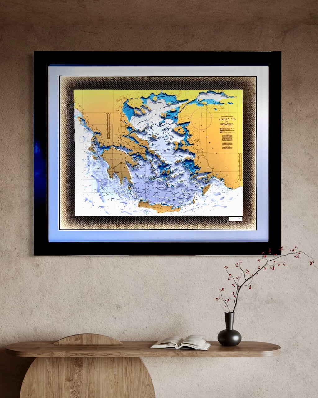
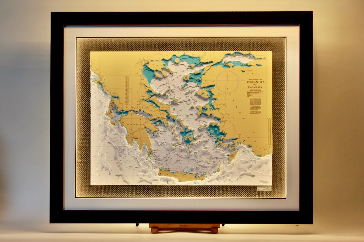
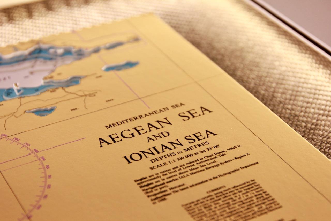
The chart is set on a carbon background and is finished with a black gloss frame and a white mount. Surround lighting makes all the detailed features stand out. A stunning piece for a stunning location.
Specification: Location: Mediterranean, Aegean & Ionian Sea
Chart: Classic Modern Colour, UKHO
Frame: Black Gloss
Size: 1100*900mm
Double Surround Mount
Backing mount: Carbon
Surround lighting – LED 12V DC with Mains Interchangeable UK, Euro & US Plugtop
COMMISSION OPTIONS : Alternative options : Larger size, Colour modern charts. Framing options to suit all settings. Surround lighting with carbon backing. Design to match specific customer requirements.
Bobby Nash developed the Latitude Kinsale brand to be synonymous with quality, innovation and delivering excellence to any location in the world. The 3D chart’s are hand made to commission with care and attention to detail and to exacting standards gained from 20 years of experience. All materials used to create the 3D chart are paper based, acid free, age resistant, conservation quality, designed to protect the chart and achieve the highest levels of presentation for framing.
Any Chart, Anywhere in the World.