
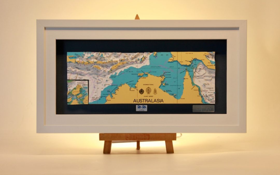
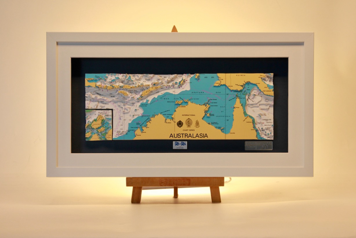
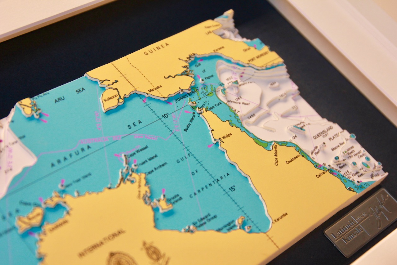
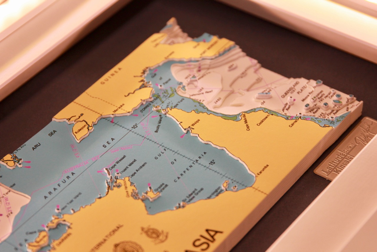
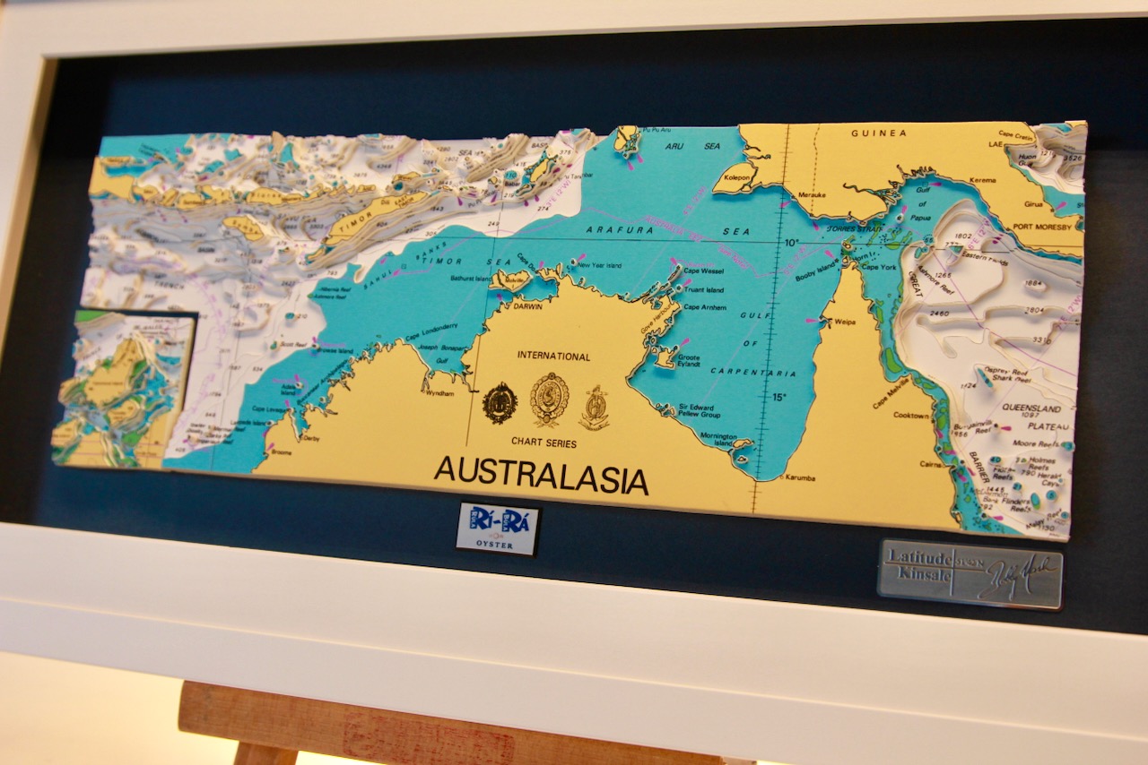
Torres Strait is a shallow, reef‑rich waterway between Australia and Papua New Guinea, dotted with over 270 small islands. Coral cays, volcanic peaks, mangrove islets, and tidal sandbanks shape its complex geography.
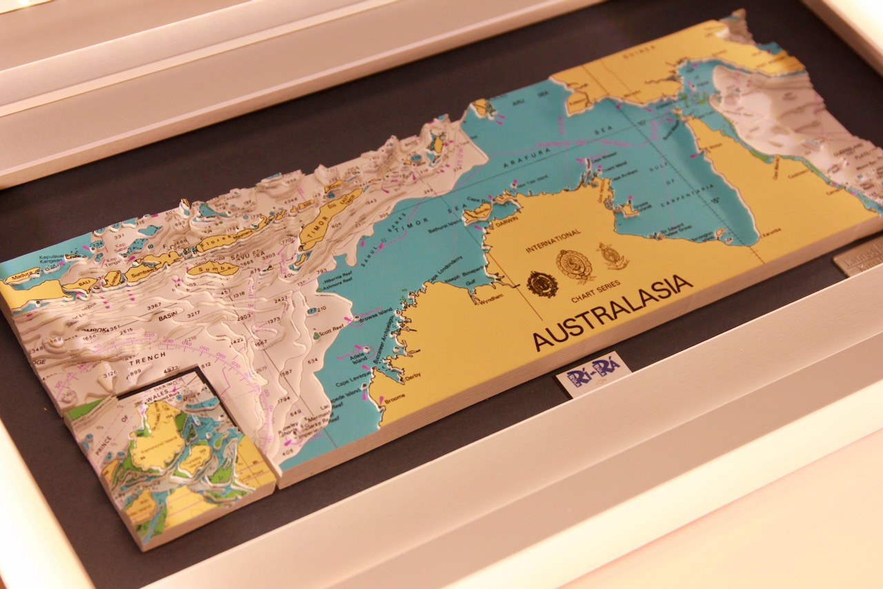
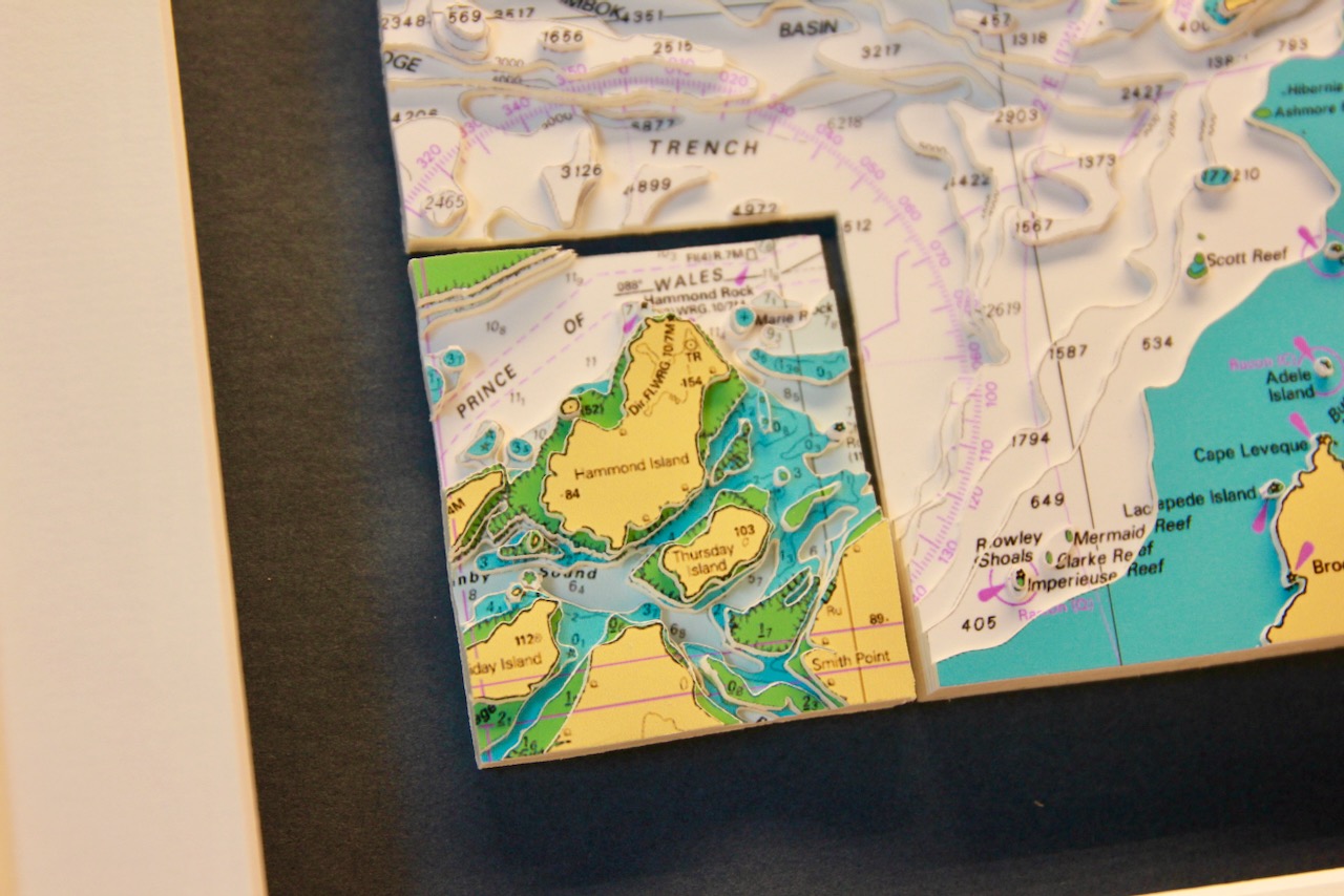
The bottom left shows the insert of the small islands in Torres Strait such as Hammond Island, Wednesday Island, Thursday Island, Friday Island, Horn Island and Prince of Wales Island. The insert is a nice feature and gives prominence to a chosen location while maintaining the perspective of the ‘bigger picture’.
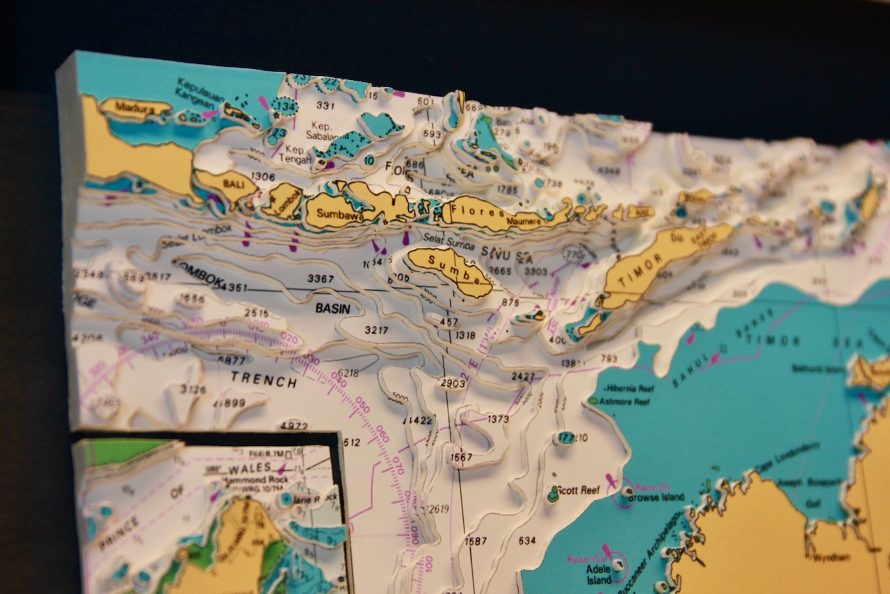
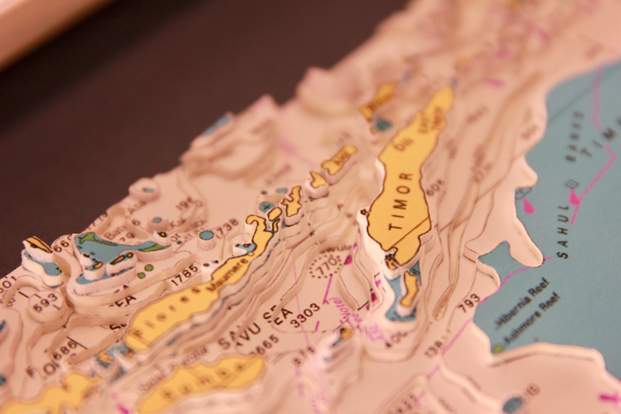
Top left of the chart shows the Lesser Sunda Islands, it stretches east of Bali across the southern Indonesian archipelago, forming a chain of volcanic and coral islands. Major islands include Bali, Lombok, Sumbawa, Flores, Sumba, and Timor, surrounded by deep straits, rugged coasts, and rich marine ecosystems.
Specification: Location: Australia North, Indonesia, Torres Strait
Chart: Modern Colour, UKHO
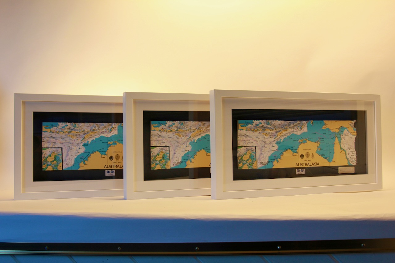
Frame:White
Size: 560*310mm
Double Surround Mount
Backing mount: Black
Surround lighting – N.A
COMMISSION OPTIONS : Alternative options : Larger size, Colour modern charts. Framing options to suit all settings. Surround lighting with carbon backing. Design to match specific customer requirements.
Bobby Nash developed the Latitude Kinsale brand to be synonymous with quality, innovation and delivering excellence to any location in the world. The 3D chart’s are hand made to commission with care and attention to detail and to exacting standards gained from 20 years of experience. All materials used to create the 3D chart are paper based, acid free, age resistant, conservation quality, designed to protect the chart and achieve the highest levels of presentation for framing.
Any Chart, Anywhere in the World.