
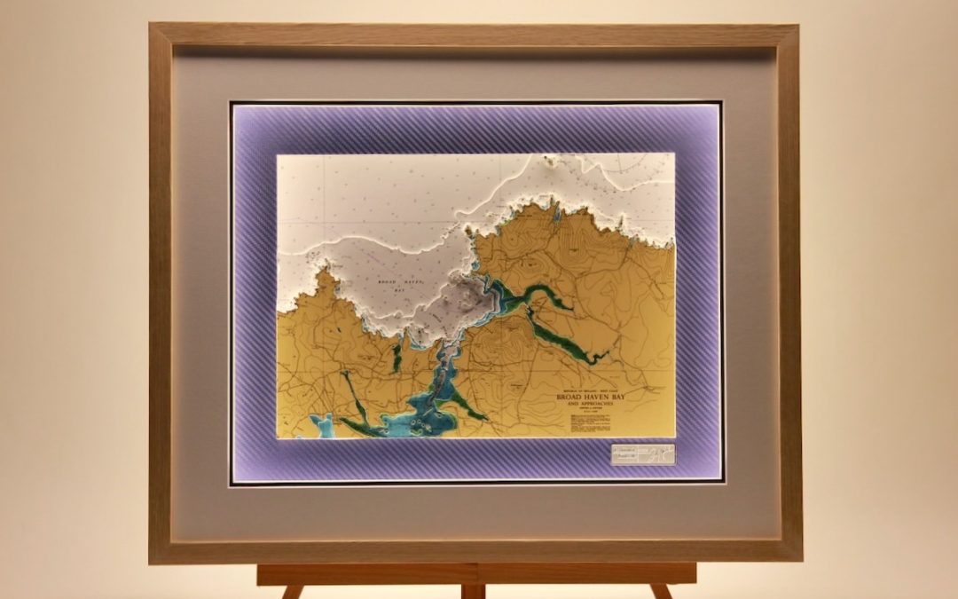
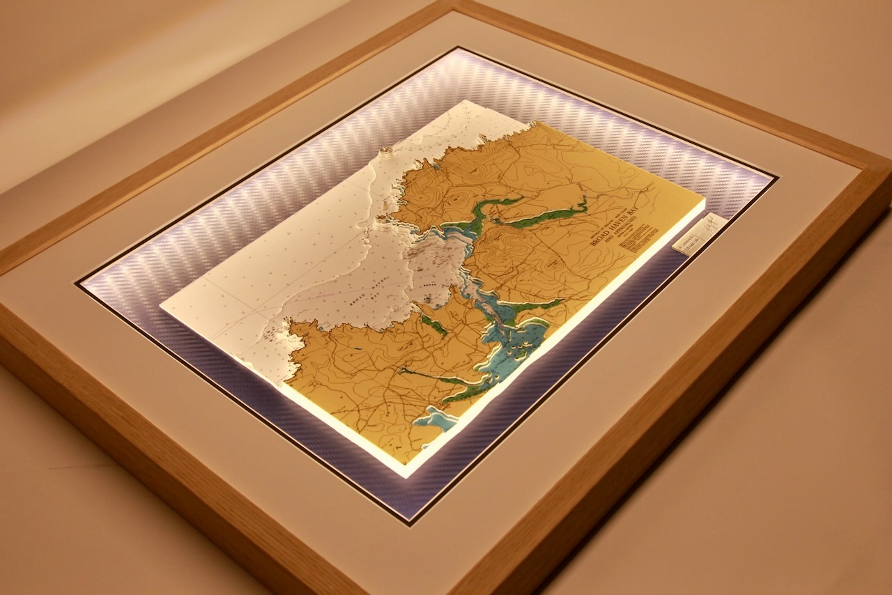
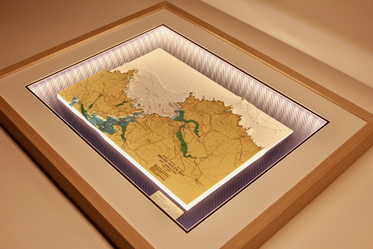

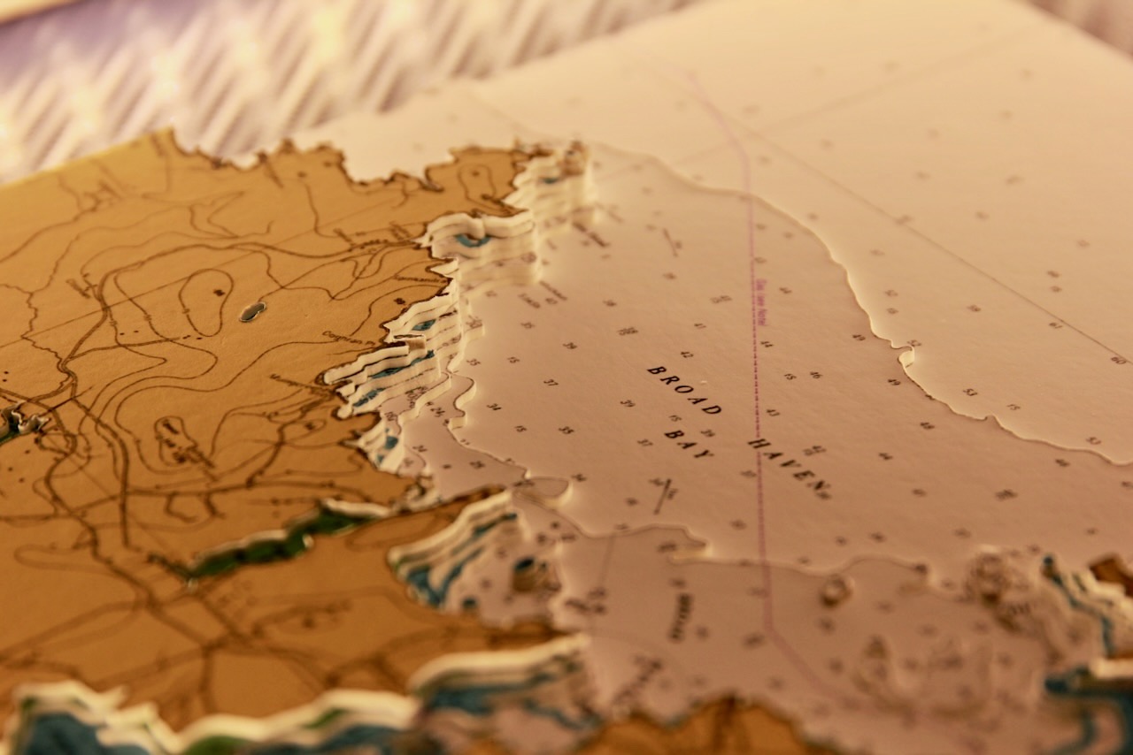



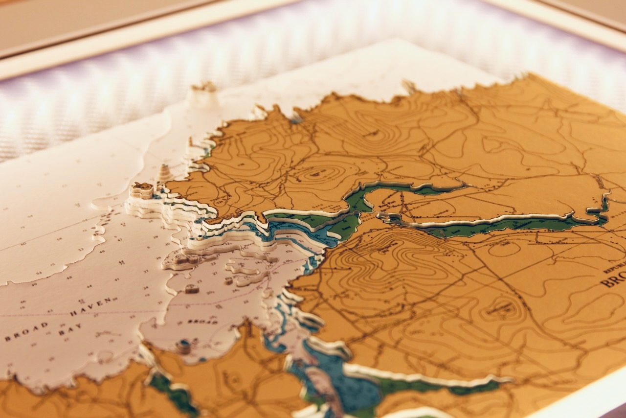

The Mullet Peninsula or sometimes known as the Erris Peninsula is a large promontory connected to the mainland at Belmullet, on the northwestern coast of Co. Mayo. Its highly indented coastline creates a fascinating 3D chart. The peninsula’s doglegged shape forms two bays, Blacksod Bay and Broadhaven Bay – in an area of unspoiled natural beauty.
This chart features Broadhaven Bay, is a stunning natural bay connected to the Atlantic Ocean. Stretching 8.6 km, it features rugged coastline, sandy beaches, and Atlantic blanket bog.
Off-shore there are various islands featured, namely: Rocky Island, Cone Island, Kid Island, Knife Rock, Parson Rk, Hag Island, Buddagh Island, Pig Island and The Stags.
It is set on a vinyl carbon background and is finished with a white mount and an Oak frame.
Specification: Location: Broad haven Bay, Ireland
Chart: Modern colour, UKHO
Frame: Oak
Size: 600*500mm
Double Surround Mount
Backing mount: Vinyl Carbon
Surround lighting – LED 12V DC with Mains Interchangeable UK, Euro & US Plugtop
COMMISSION OPTIONS : Alternative options : Larger size, Colour modern charts. Framing options to suit all settings. Surround lighting with carbon backing. Design to match specific customer requirements.
Bobby Nash developed the Latitude Kinsale brand to be synonymous with quality, innovation and delivering excellence to any location in the world. The 3D chart’s are hand made to commission with care and attention to detail and to exacting standards gained from 20 years of experience. All materials used to create the 3D chart are paper based, acid free, age resistant, conservation quality, designed to protect the chart and achieve the highest levels of presentation for framing.
Any Chart, Anywhere in the World.