
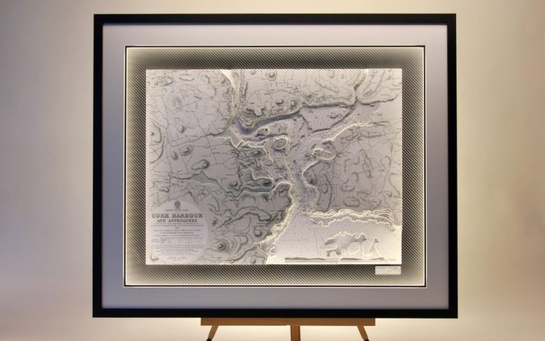

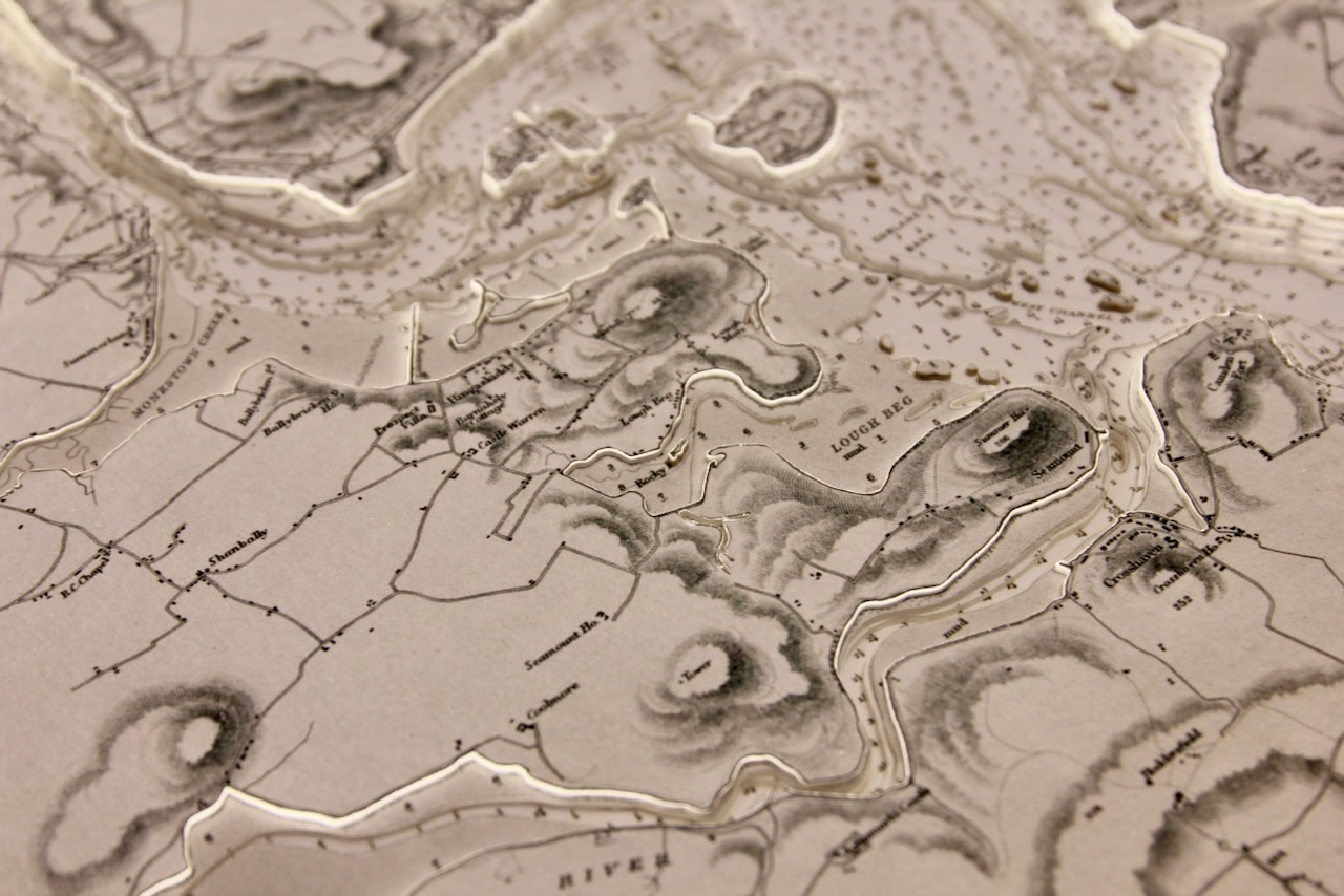
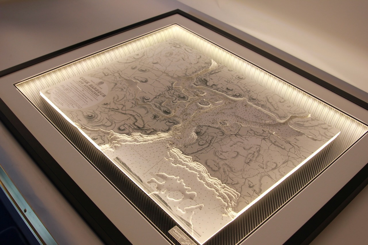
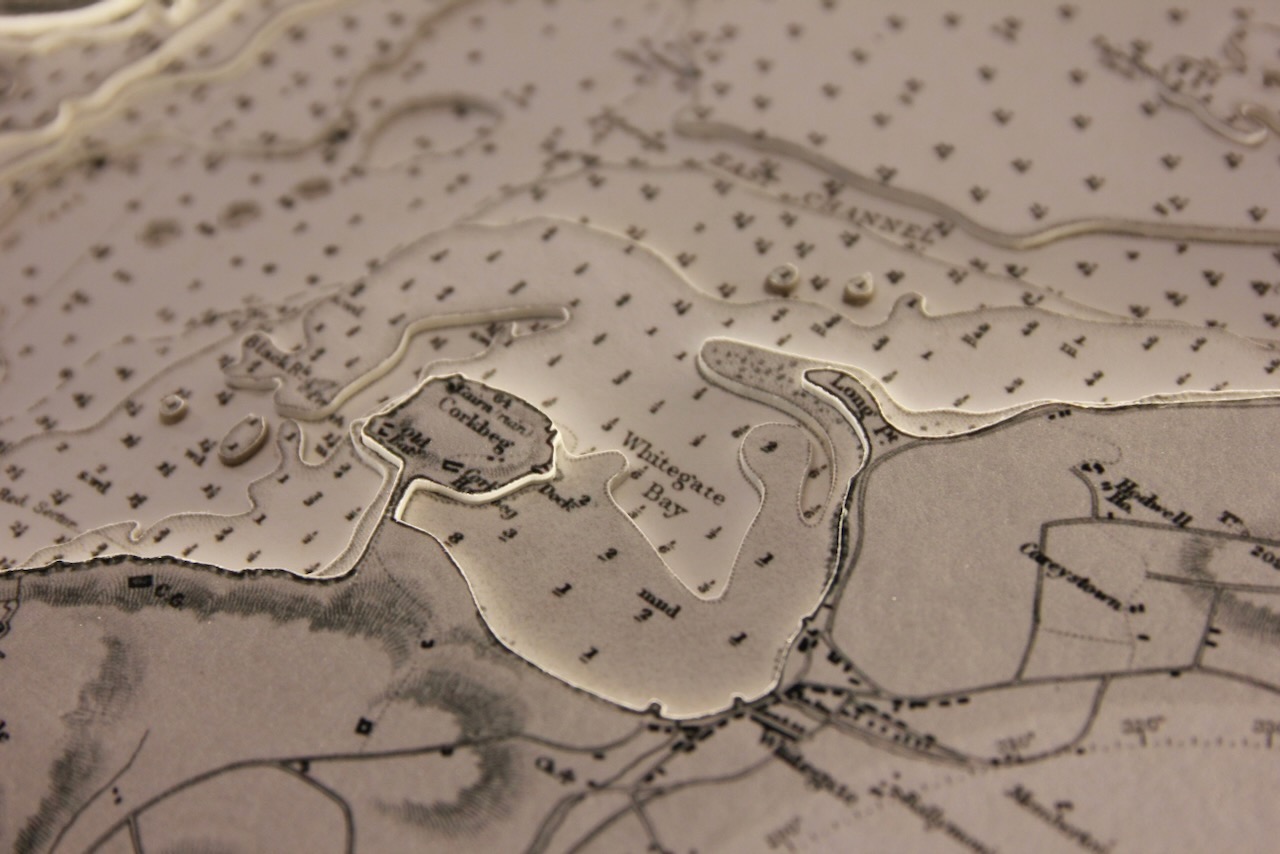

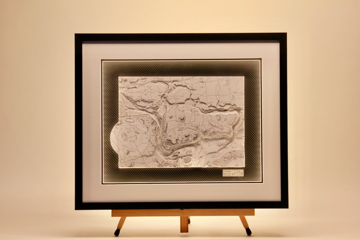
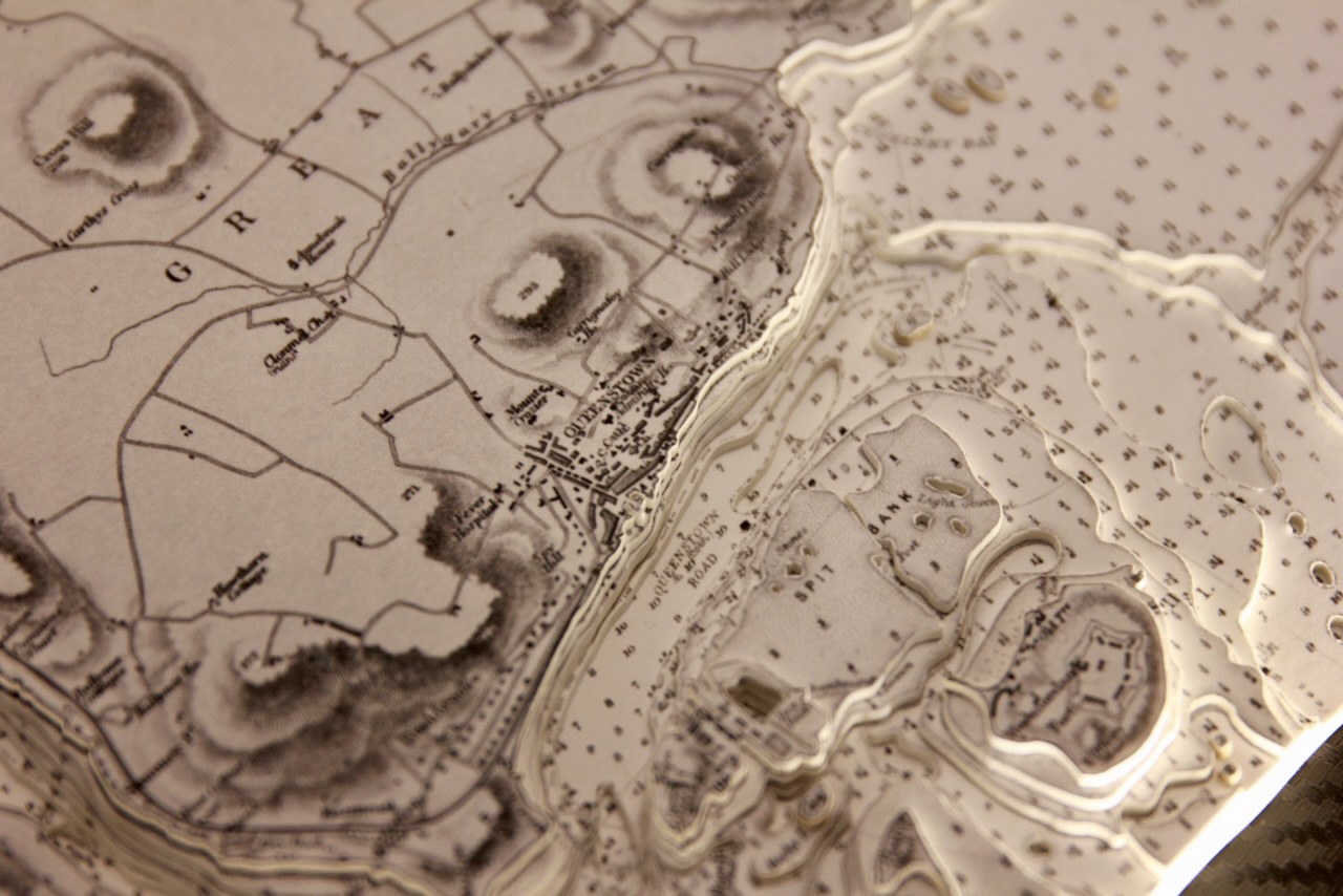
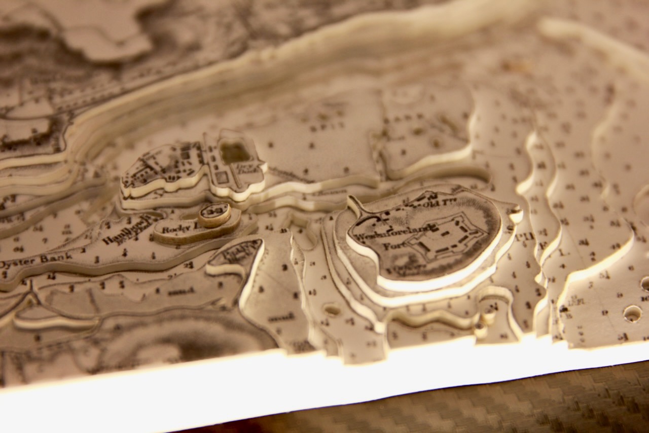
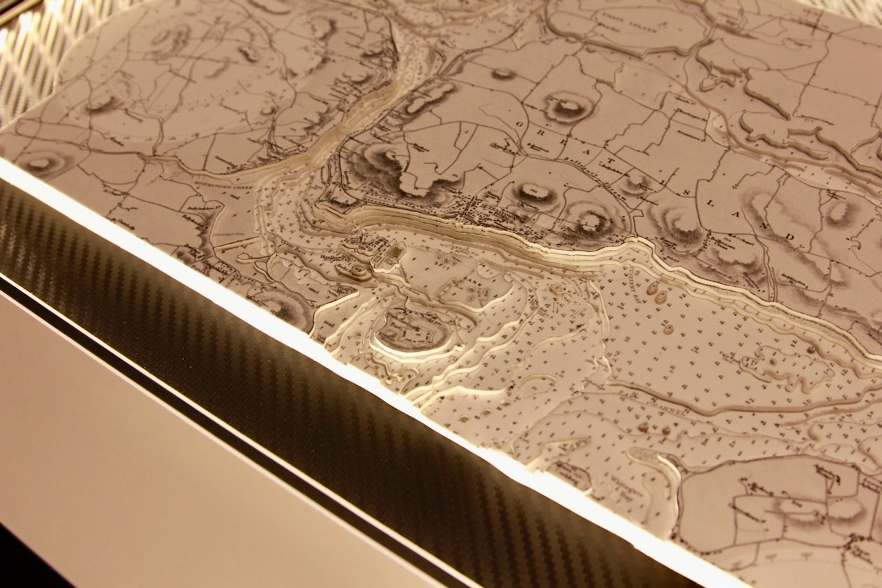
Attached are photos of two versions of the same area. Both stunning black and white charts of Cork Harbour. Each features surround lighting, a vinyl carbon background, and a black frame. The larger piece measures 800×700mm, while the smaller one is 600×500mm.
Cork Harbour is a natural harbour at the mouth of the River Lee in Co. Cork. It is one of the largest natural harbours in the world. It has been a working port for centuries, and is one of Ireland’s major employment hubs.
Cork City is located upstream on the River Lee on the northwest corner of Cork Harbour. Several of the city’s suburbs, including Blackrock, Mahon, Douglas, Passage West and Rochestown lie on Lough Mahon or the Douglas Estuary, both of which are parts of Upper Cork Harbour.
Cork Harbour contains a number of islands including: Great Island, Fota Island, Little Island, Haulbowline and Spike Island.
Specification: Location: Cork Harbour, Ireland
Chart: Classic B&W, UKHO
Frame: Brushed Black
Size: 600*500mm / 800*700mm
Double Surround Mount
Backing mount: Vinyl carbon
Surround lighting –LED 12V DC with Mains Interchangeable UK, Euro & US Plugtop
COMMISSION OPTIONS : Alternative options : Larger size, Colour modern charts. Framing options to suit all settings. Surround lighting with carbon backing. Design to match specific customer requirements.
Bobby Nash developed the Latitude Kinsale brand to be synonymous with quality, innovation and delivering excellence to any location in the world. The 3D chart’s are hand made to commission with care and attention to detail and to exacting standards gained from 20 years of experience. All materials used to create the 3D chart are paper based, acid free, age resistant, conservation quality, designed to protect the chart and achieve the highest levels of presentation for framing.
Any Chart, Anywhere in the World.