
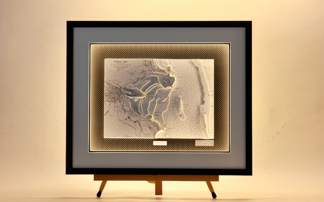
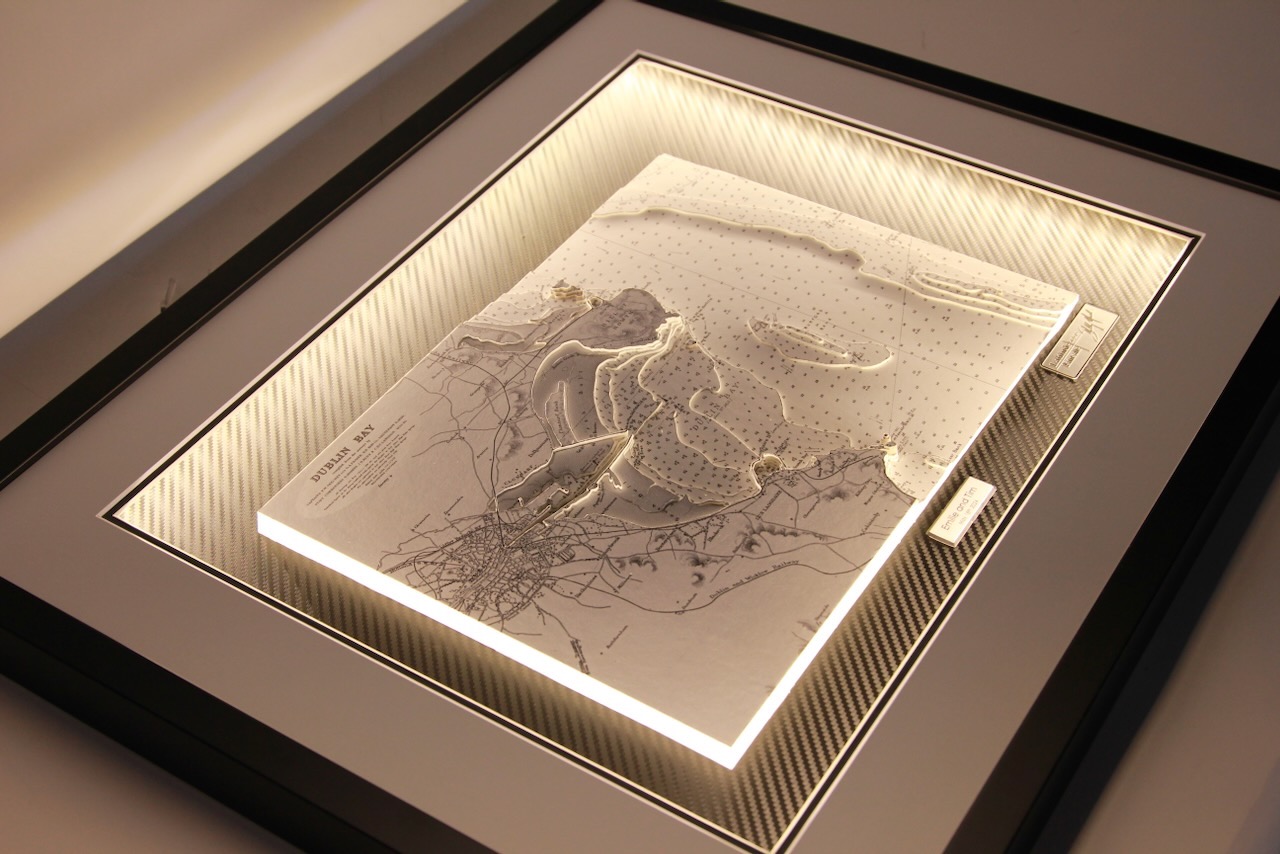

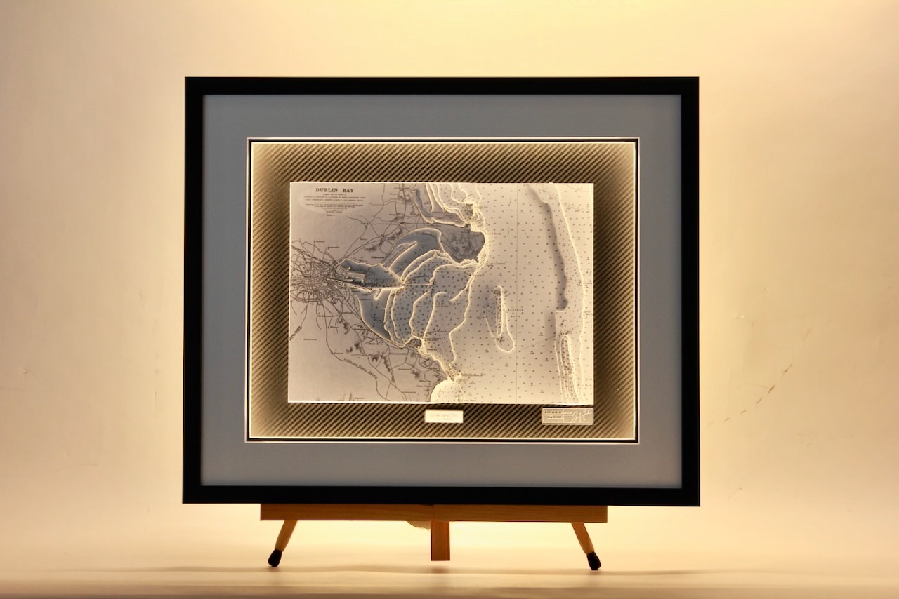
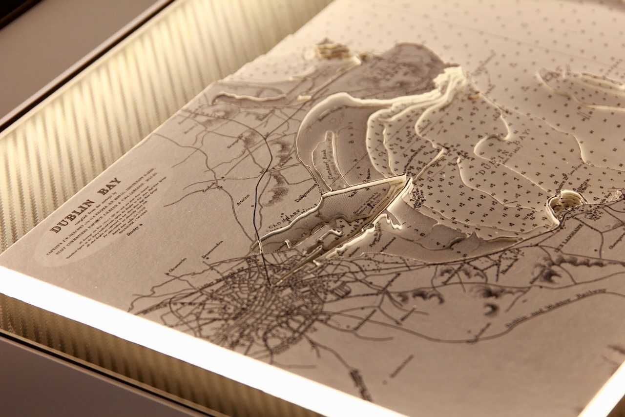
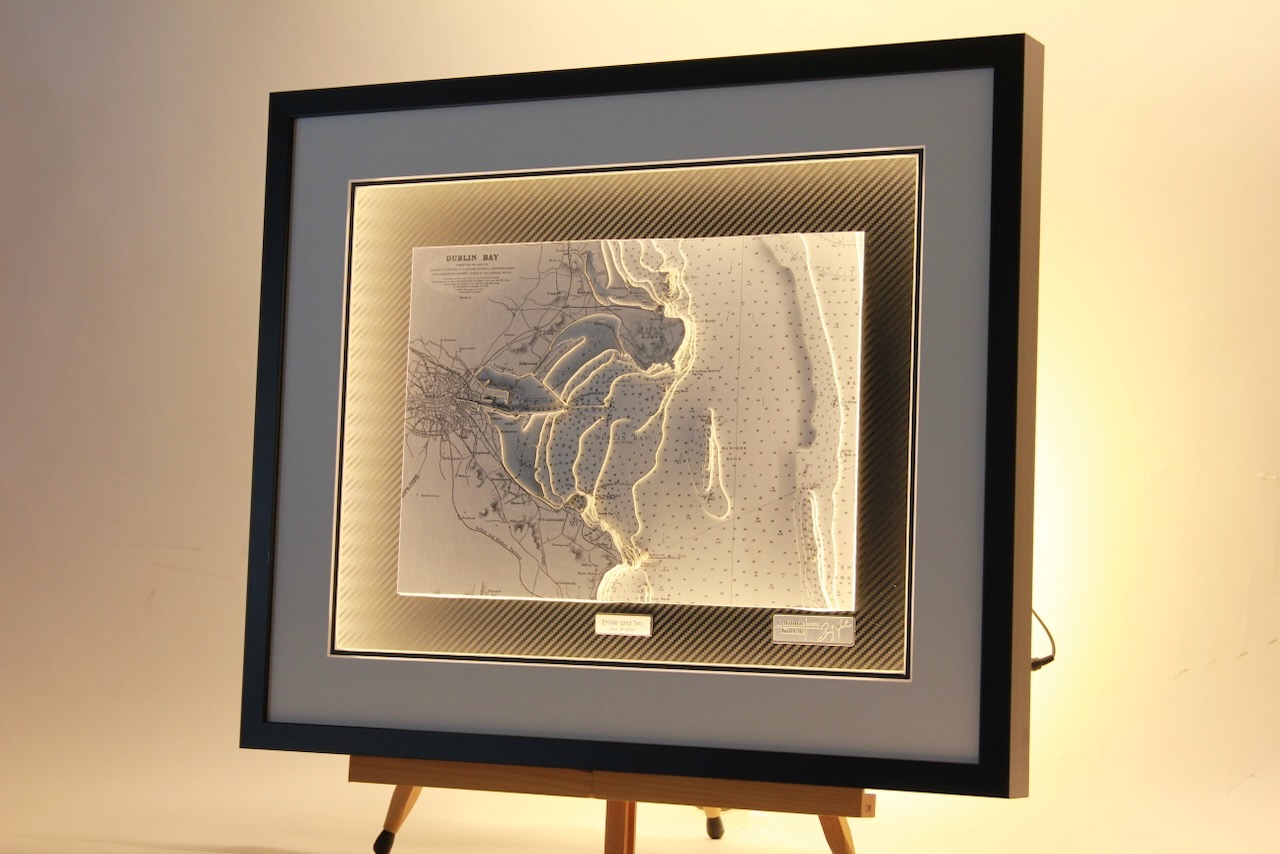

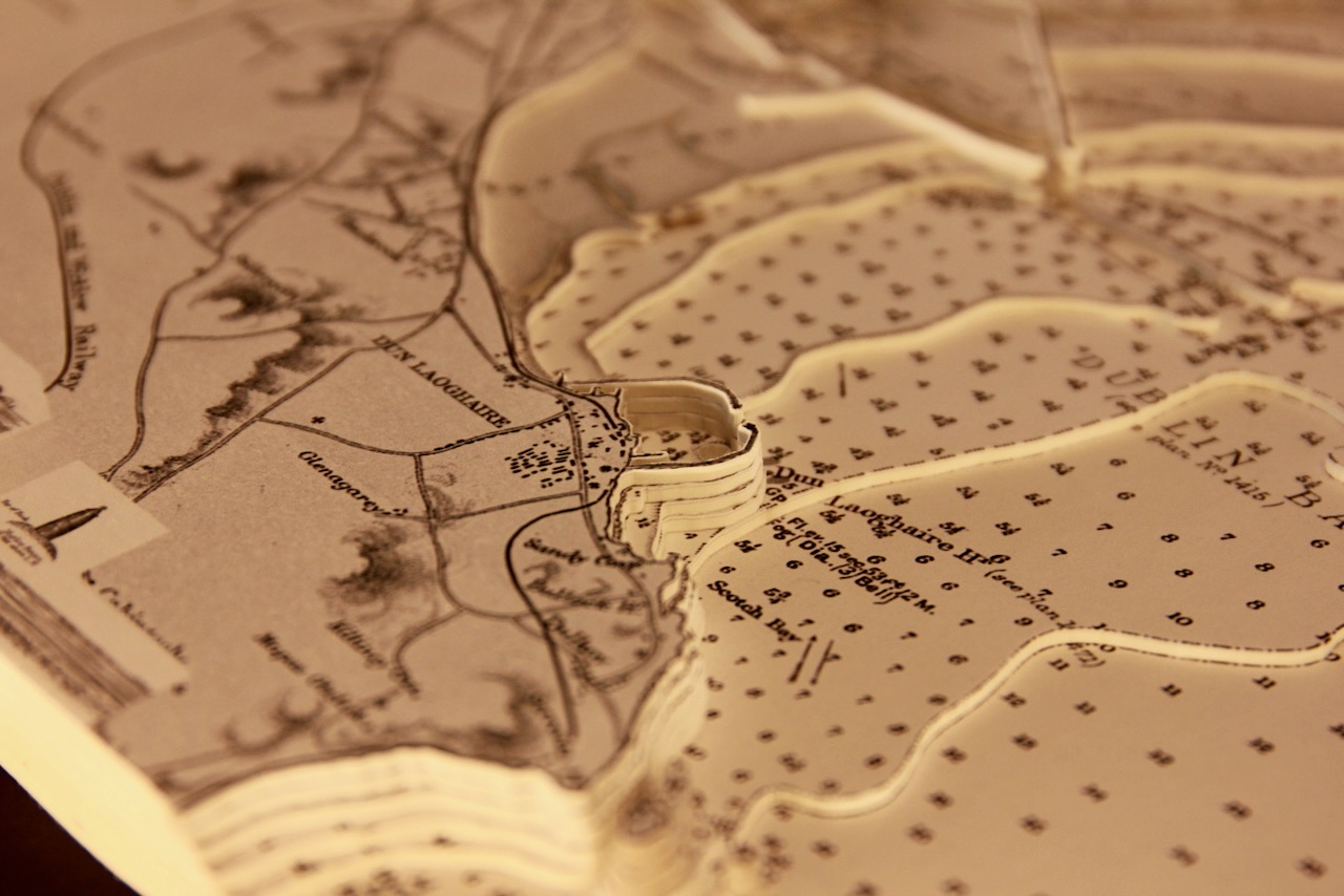
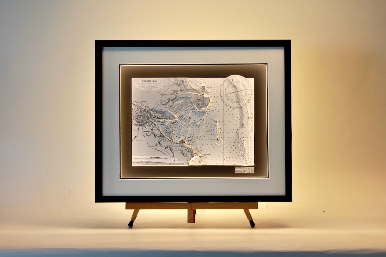
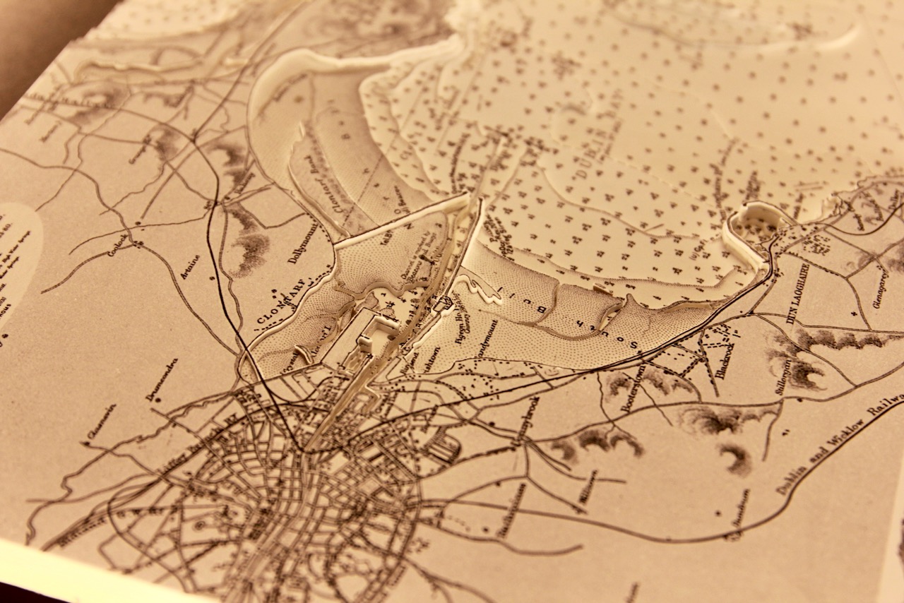
Attached are photos of two versions of the same area.Both stunning black and white charts of Dublin Bay. The Dublin coastline is beautifully portrayed with the city as its central focal point. Howth Head forms the northern boundary of Dublin Bay. The island of Ireland’s Eye, which is a Special Area of Conservation, lies about a kilometre north of Howth harbour.
The River Liffey, the Grand Canal and the docklands are all shown. Between the city and Howth lie Bull Island. Moving south of the city, the iconic image of Dun Laoghaire’s east and west piers are shown. Dun Laoghaire has one of the largest harbours in the country and is home to four yacht clubs: the Royal Irish Yacht Club, the Royal St. George, the National Yacht Club and the Motor Yacht Club as well as a couple of sailing clubs.
The addition of surround lighting enhances the detailed 3D work. Both features surround lighting and one has a Carbon fibre background with a black frame and one is finished on charcoal background with a black frame.
Specification: Location: Dublin Bay, Ireland
Chart: Classic B&W, UKHO
Frame: Black
Size: 600*500mm
Double Surround Mount
Backing mount: Carbon fibre / Charcoal
Surround lighting – LED 12V DC with Mains Interchangeable UK, Euro & US Plugtop
COMMISSION OPTIONS : Alternative options : Larger size, Colour modern charts. Framing options to suit all settings. Surround lighting with carbon backing. Design to match specific customer requirements.
Bobby Nash developed the Latitude Kinsale brand to be synonymous with quality, innovation and delivering excellence to any location in the world. The 3D chart’s are hand made to commission with care and attention to detail and to exacting standards gained from 20 years of experience. All materials used to create the 3D chart are paper based, acid free, age resistant, conservation quality, designed to protect the chart and achieve the highest levels of presentation for framing.
Any Chart, Anywhere in the World.