

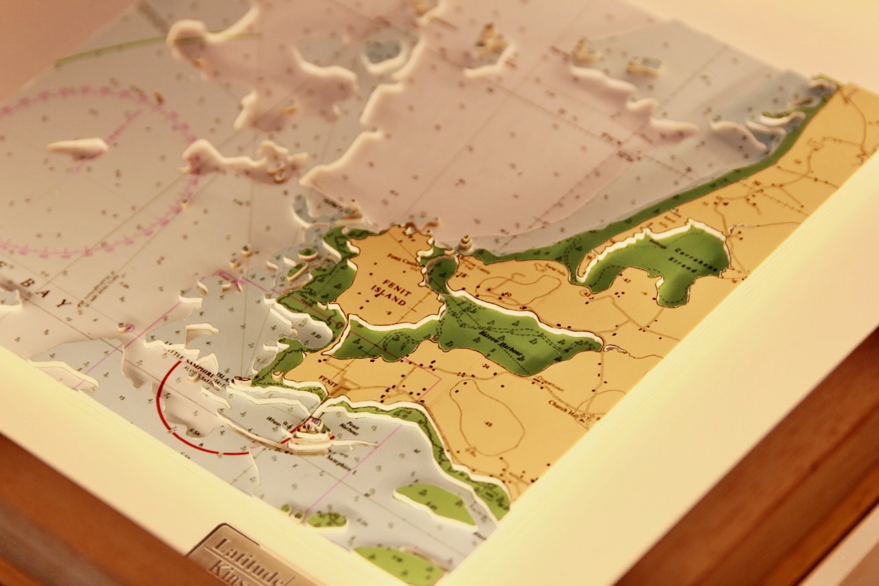
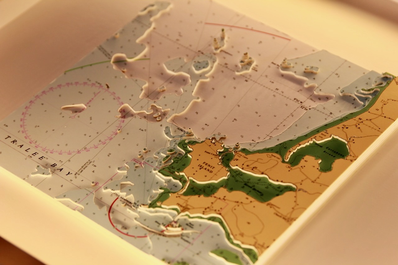
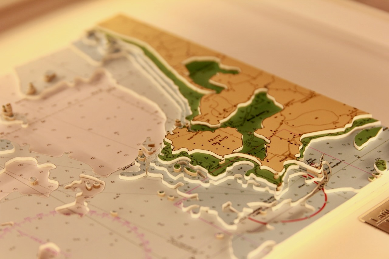
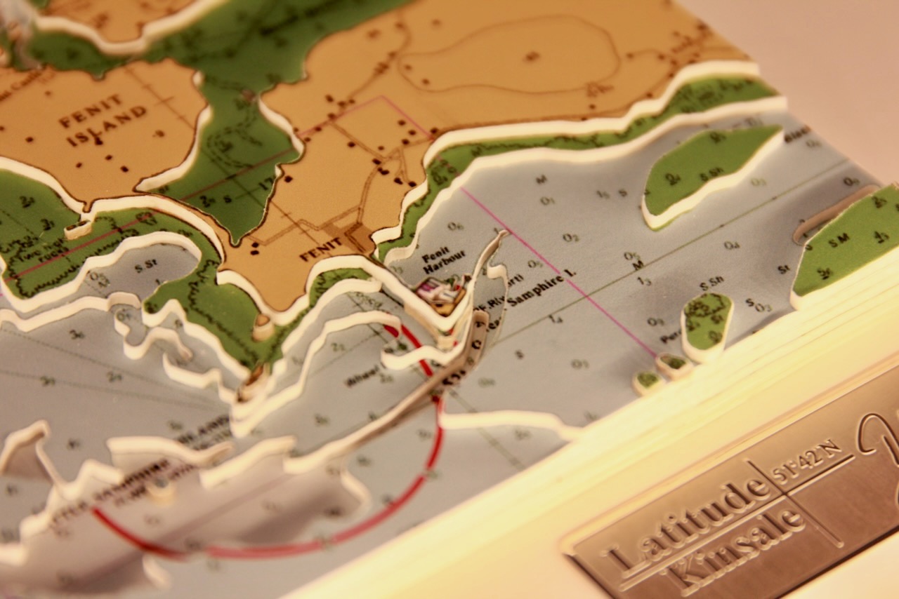
This chart belongs to our Origins range. This chart features Fenit Island.
Fenit Island, located in Tralee Bay, County Kerry, Ireland, is a small populated island connected to the mainland by a sandbar. Historically known as “Fenit Within,” it encloses Barrow Harbour and was once protected by walls against landward attacks. The island is accessible by foot along the sandbar and by car at low tide.
Fenit Island is also notable as the birthplace of Saint Brendan the Navigator, a legendary explorer. Its scenic beauty and historical significance make it a fascinating destination.
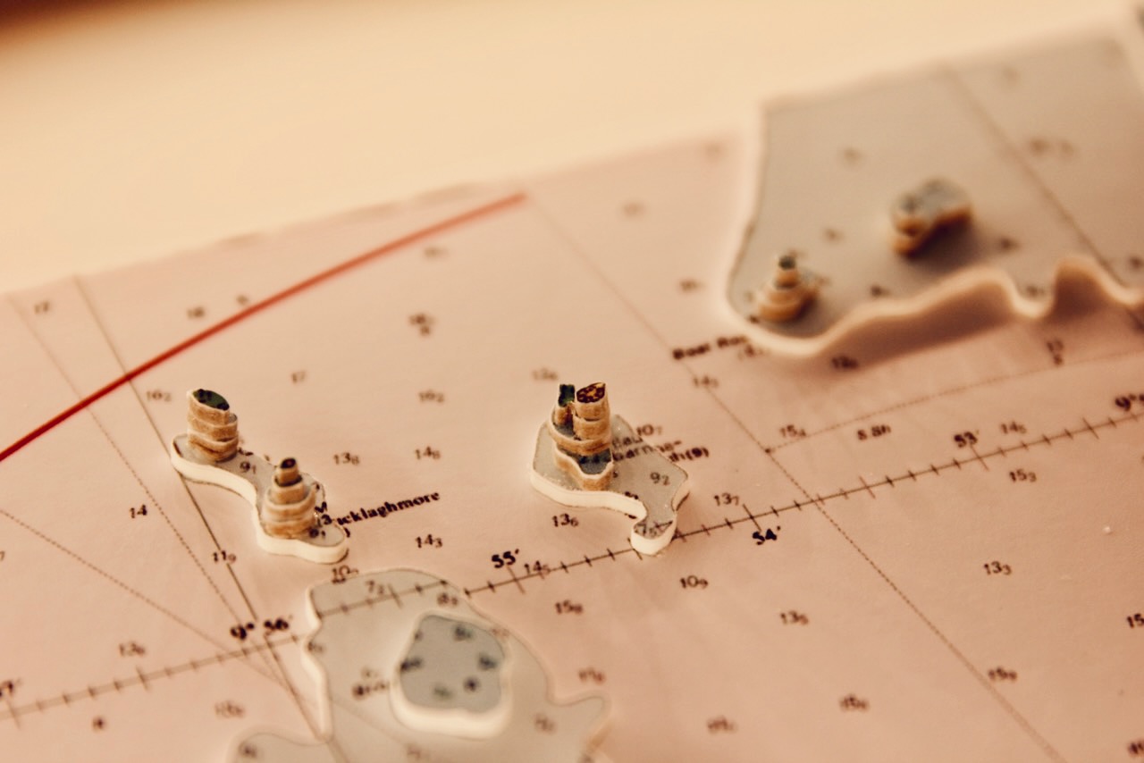
The chart also includes Mucklaghmore, Boat Rock, Crow Rock, The Rose, Little Samphire Island and Great Samphire Island.
Specification: Location:Fenit Island, Ireland
Chart: Modern Colour, UKHO
Frame: White
Size: 380*380mm
Backing mount: White
Surround lighting – N.A
COMMISSION OPTIONS : Alternative options : Larger size, Colour modern charts. Framing options to suit all settings. Surround lighting with carbon backing. Design to match specific customer requirements.
Bobby Nash developed the Latitude Kinsale brand to be synonymous with quality, innovation and delivering excellence to any location in the world. The 3D chart’s are hand made to commission with care and attention to detail and to exacting standards gained from 20 years of experience. All materials used to create the 3D chart are paper based, acid free, age resistant, conservation quality, designed to protect the chart and achieve the highest levels of presentation for framing.
Any Chart, Anywhere in the World.