


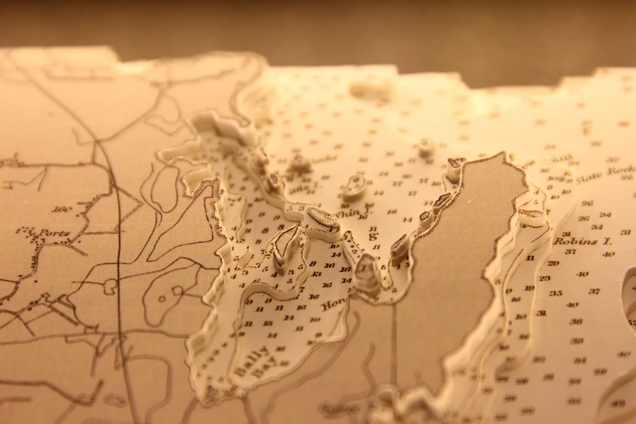


This lovely B&W chart features Lough Ree. This piece centres on the lower lough from Athlone to Hodson Bay on the west and includes Hare Island.
Lough Ree is situated in the midlands and is one of the three major lakes on the River Shannon. It is the second largest lake on the Shannon, the largest being Lough Derg to the south and the smallest being Lough Allen to the north.
At the southernmost section is the town of Athlone. There are several small islands such as Friars Island shown but the biggest of these is Hare Island. Below the island is Coosan Point. Looking east you can see Killinure Lough which feeds into Lough Ree. Killinure Island is shown on this lough and nearby Coosan Lough is also featured.
Specification: Location: Lough Ree, Ireland
Chart: Classic B&W, UKHO
Frame: Black
Size: 500*400mm
Double Surround Mount
Backing mount: Charcoal
COMMISSION OPTIONS : Alternative options : Larger size, Colour modern charts. Framing options to suit all settings. Surround lighting with carbon backing. Design to match specific customer requirements.
Bobby Nash developed the Latitude Kinsale brand to be synonymous with quality, innovation and delivering excellence to any location in the world. The 3D chart’s are hand made to commission with care and attention to detail and to exacting standards gained from 20 years of experience. All materials used to create the 3D chart are paper based, acid free, age resistant, conservation quality, designed to protect the chart and achieve the highest levels of presentation for framing.
Any Chart, Anywhere in the World