
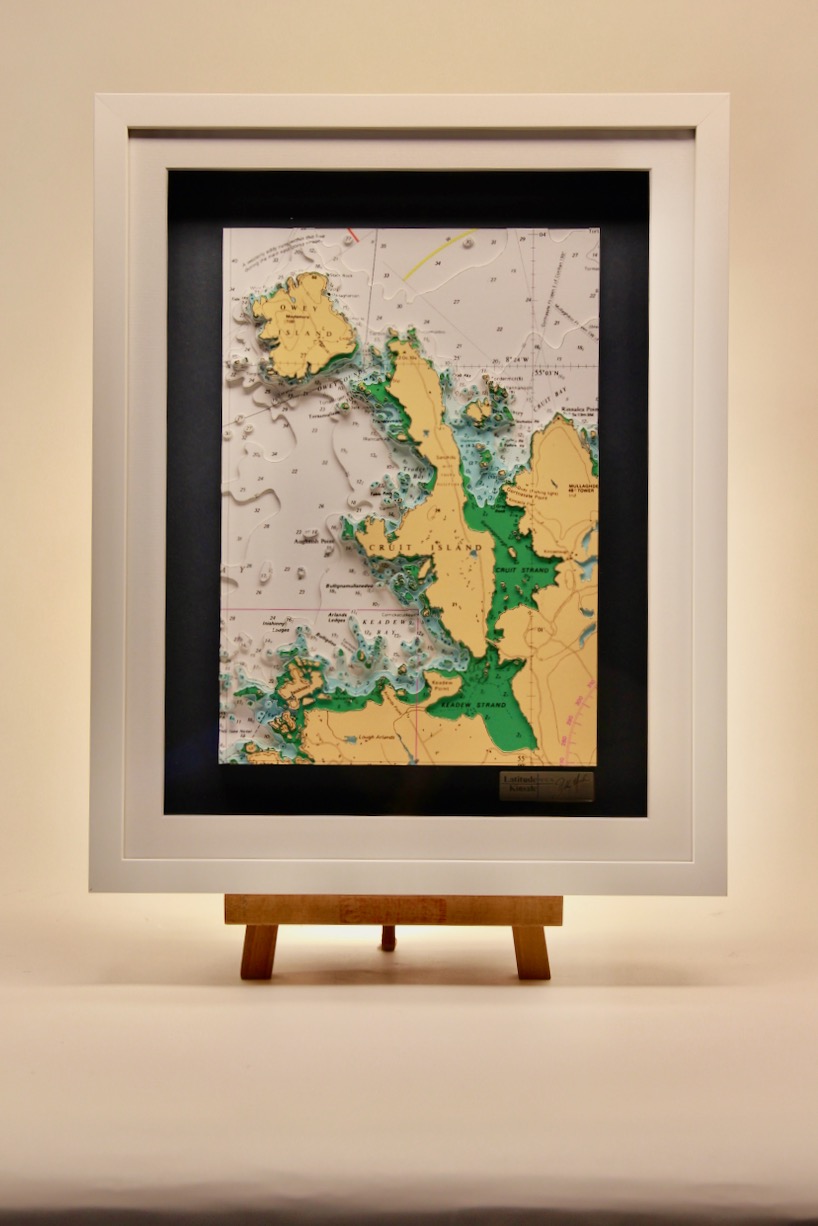
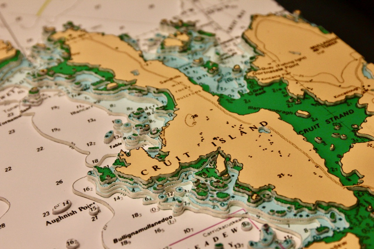
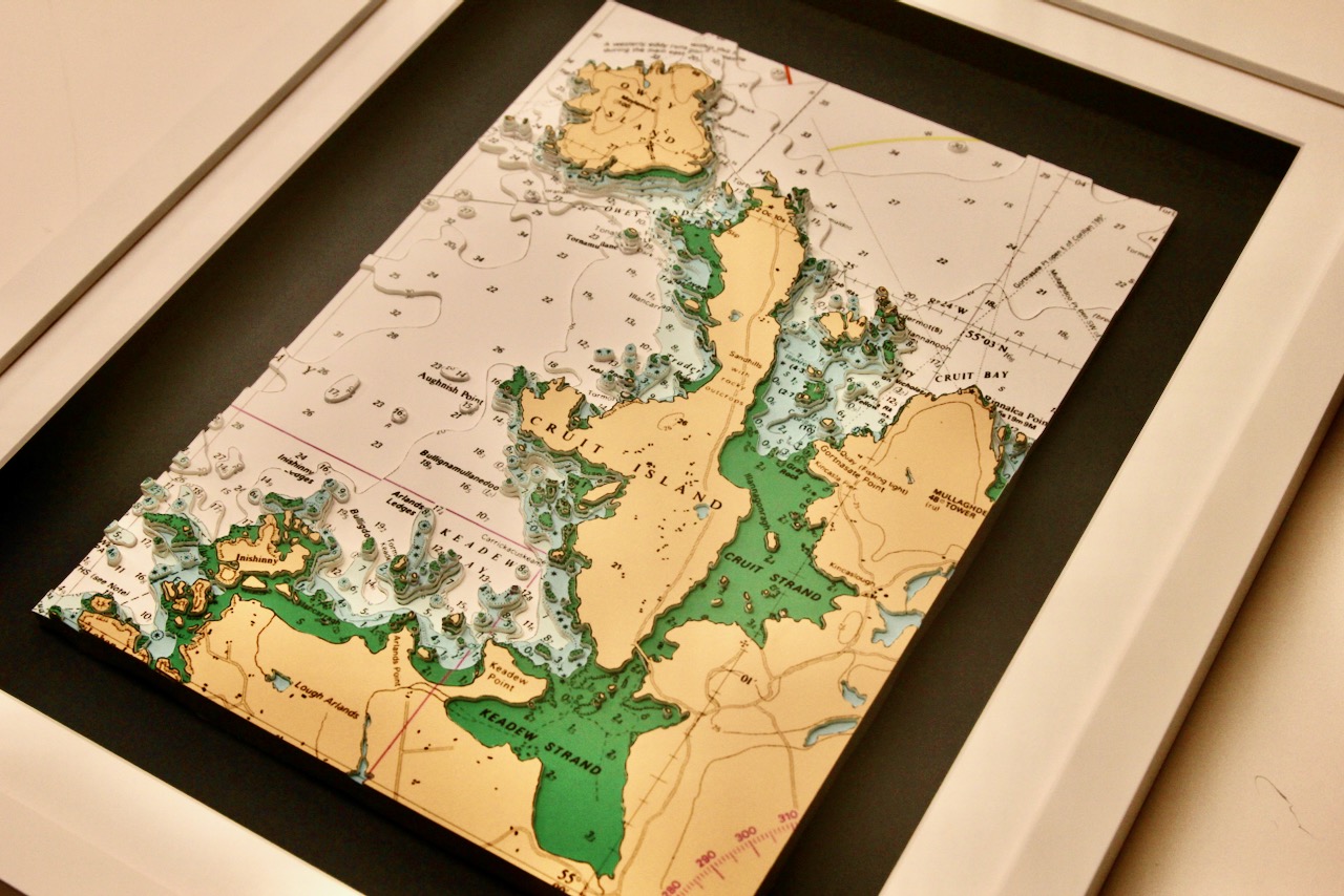
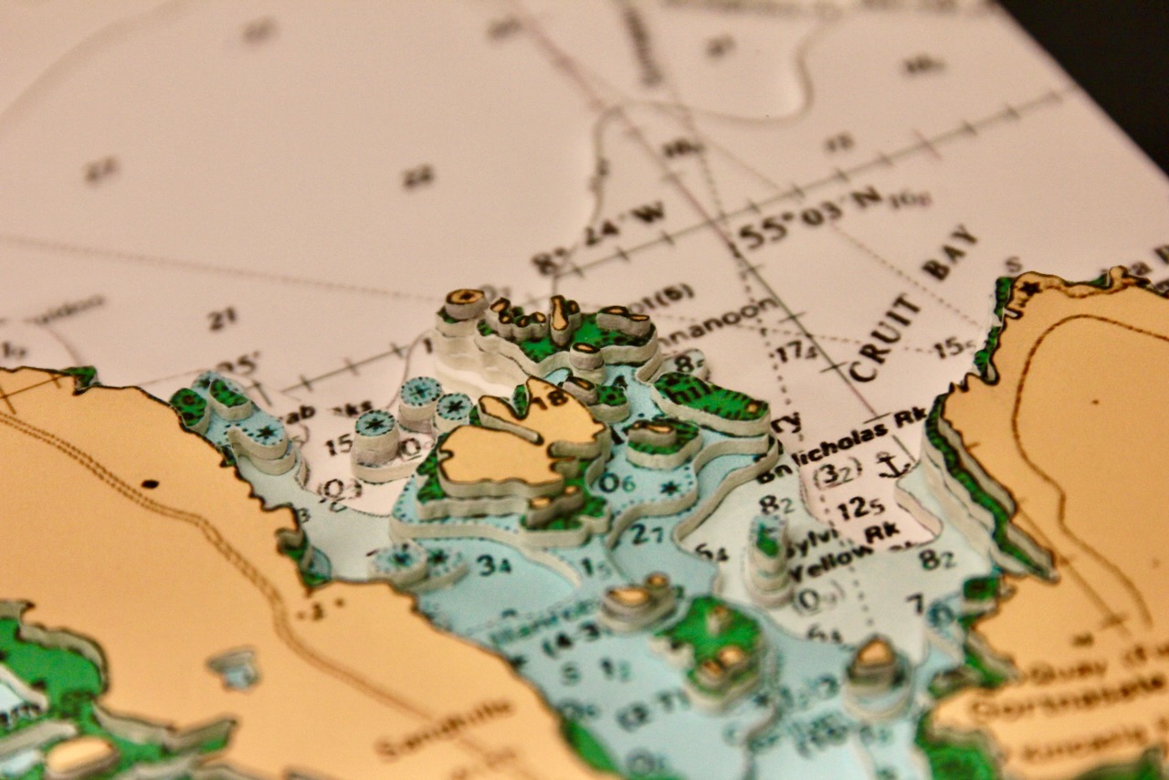
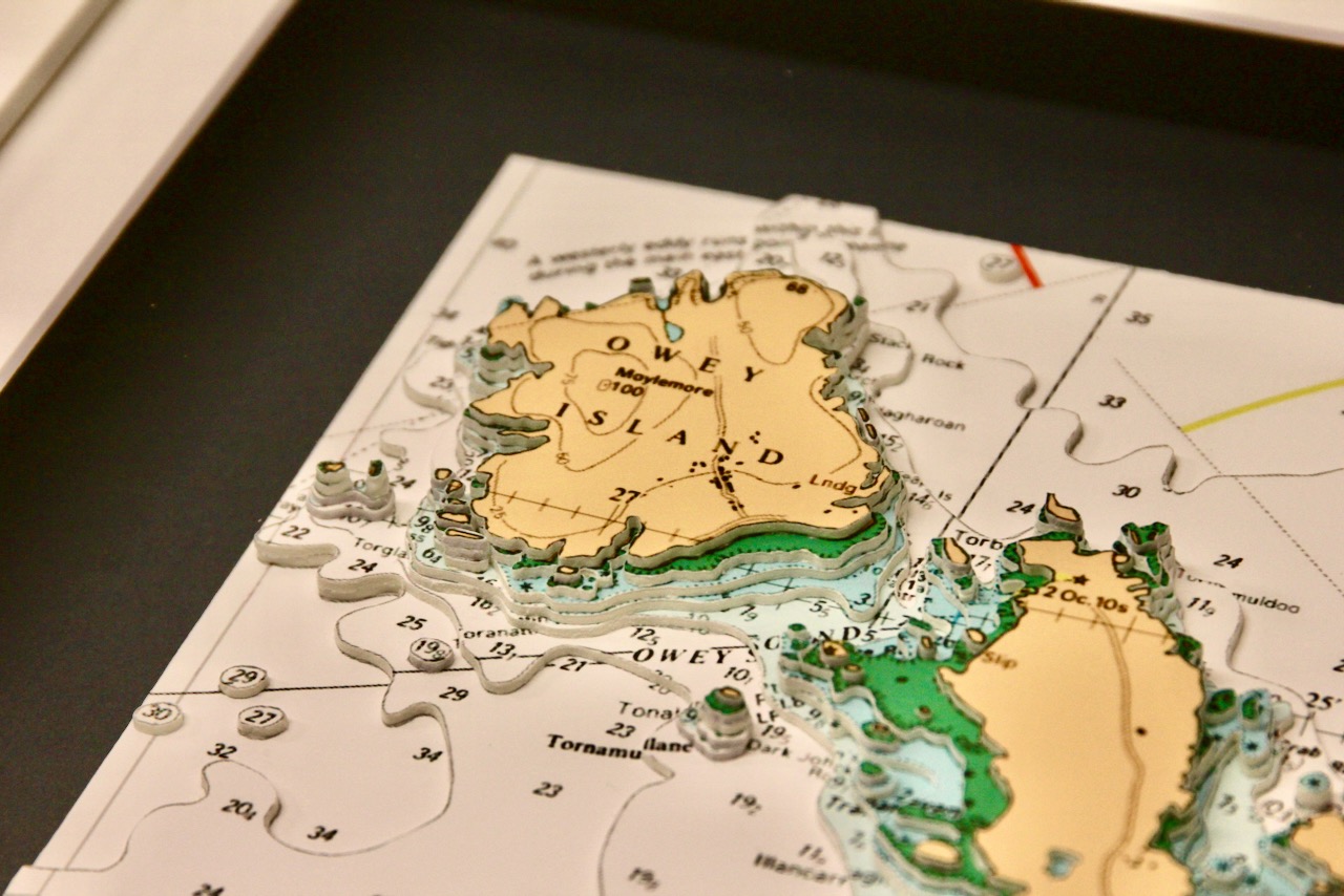
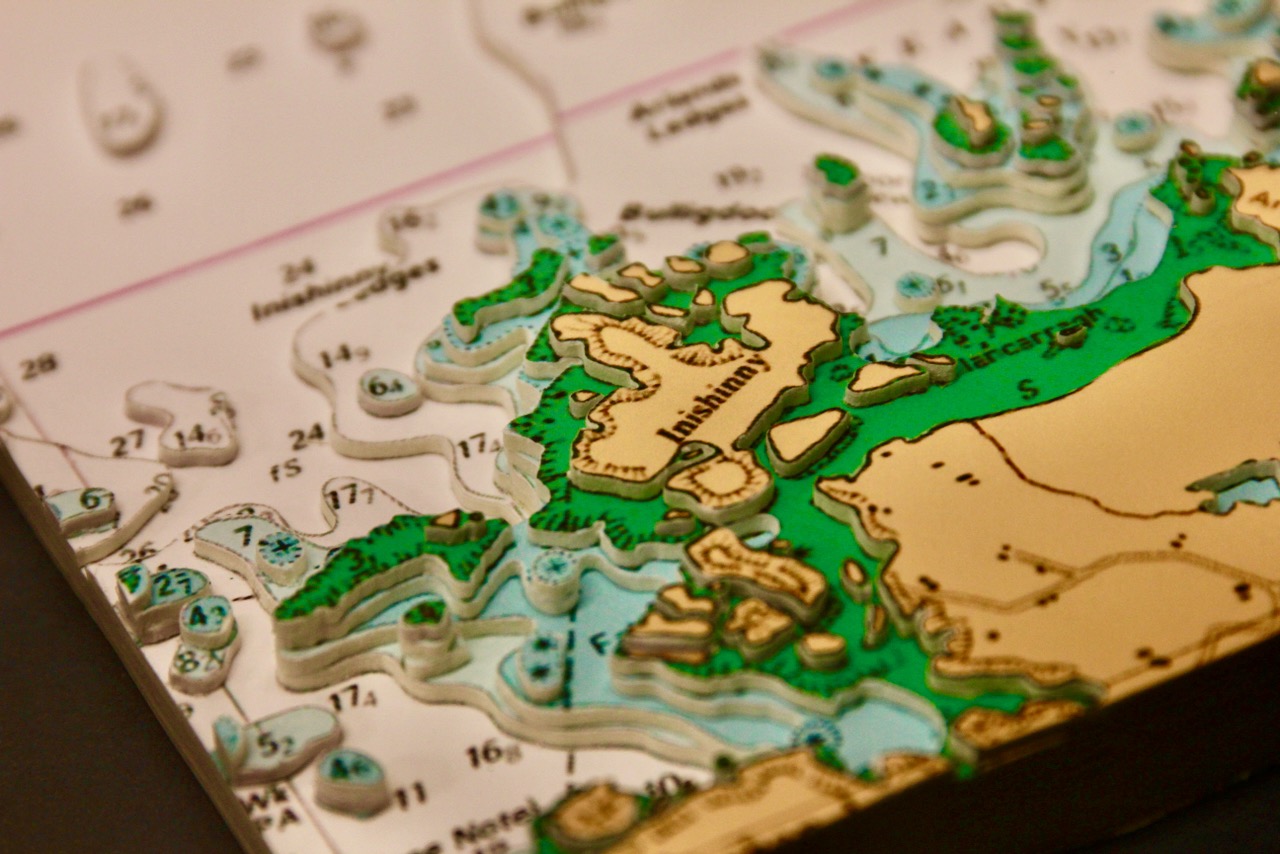
This lovely chart features Owey Island & Cruit Island.
Cruit is a small inhabited island of the Rosses in County Donegal. It is linked to the mainland by bridge. The island is very beautiful and is dotted with sandy beaches all around its coastline. There are about twelve beaches on this tiny island. On the eastern side offer calm swimming conditions, while the western strands face the full Atlantic swell, creating dramatic scenery and strong currents. Their soft sand, clear water, dunes, and views toward Owey and Arranmore make them beautifully unspoiled coastal hideaways.
Owey Island lies just a short distance off Cruit Island near Kincasslagh. There is no permanent residents however some residents during the summer months. The buildings of the island are located on its southern part, being the northern one rocky and exposed to winds. On Owey there is no mains electricity or public water supply.
The black mount enhances the chart beautifully, making its colours appear richer and more vivid.
Specification: Location: Owey & Cruit Islands , Ireland
Chart: Modern Colour, UKHO
Frame: Matt White
Size: 500*400mm
Double Surround Mount
Backing mount: Black
Surround lighting – N/A
COMMISSION OPTIONS : Alternative options : Larger size, Colour modern charts. Framing options to suit all settings. Surround lighting with carbon backing. Design to match specific customer requirements.
Bobby Nash developed the Latitude Kinsale brand to be synonymous with quality, innovation and delivering excellence to any location in the world. The 3D chart’s are hand made to commission with care and attention to detail and to exacting standards gained from 20 years of experience. All materials used to create the 3D chart are paper based, acid free, age resistant, conservation quality, designed to protect the chart and achieve the highest levels of presentation for framing.
Any Chart, Anywhere in the World.