Portfolio
Browse our portfolio of previous commissions for inspiration…
We have completed exciting projects all over the world – the portfolio will give you an idea of what’s possible.
Chart types, framing inspiration, lighting and size all play a part in creating your ideal piece
Click on any chart below to see the gallery of work or use the navigation to the left to see a particular region…
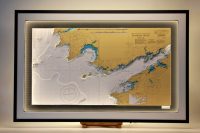
Kenmare River & Skelligs
Kenmare Bay or (Kenmare River as it is titled on this chart and sometimes known as) is an abundantly scenic part of Co. Kerry. It separates the Iveragh Peninsula and the Beara Peninsula, with Kenmare town located at the head of the Bay. Kenmare lies on two noted Irish...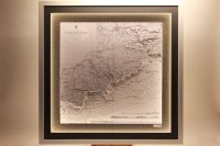
Seven heads to Cork
This lovely chart features the coastline from Seven Heads to Cork Harbour. It includes the main towns of Clonakilty, Bandon, Kinsale and all the villages in between. The notable beaches and bays such as Dunworly bay, Clonakilty bay and Courtmacsherry bay, Garrettstown...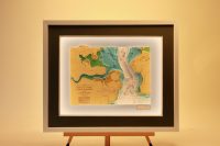
Crosshaven, Roches Point
Cork Harbour is a natural harbour at the mouth of the River Lee in Co. Cork. It is one of the largest natural harbours in the world. It has been a working port for centuries, and is one of Ireland’s major employment hubs. This 3D chart features the Lower Harbour....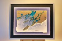
Schull to Lough Hyne
Schull is one of the loveliest villages in West Cork. it has a sheltered harbour, the area, on the peninsula leading to Mizen Head, is a tourist destination and there are numerous holiday homes along the adjoining coast. Long Island a low-lying island stretching...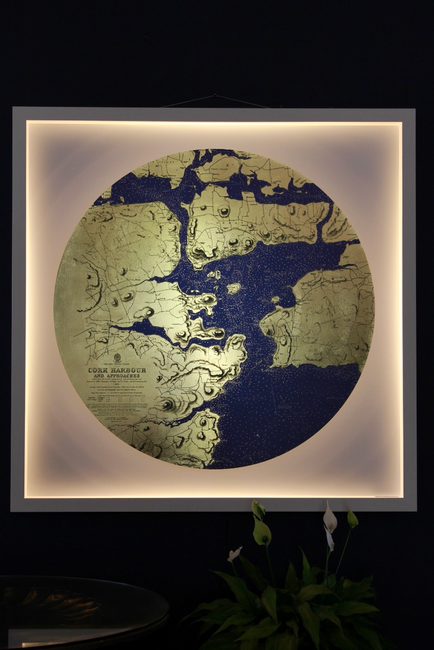
Cork Harbour, Gold Coast
This Gold Coast chart of Cork Harbour blends the traditional with the new. It is one of our new range of circular gold coast charts and is set within a frame. The choice of a frame is an optional extra as the Gold Coast charts look equally well unframed. The gold leaf...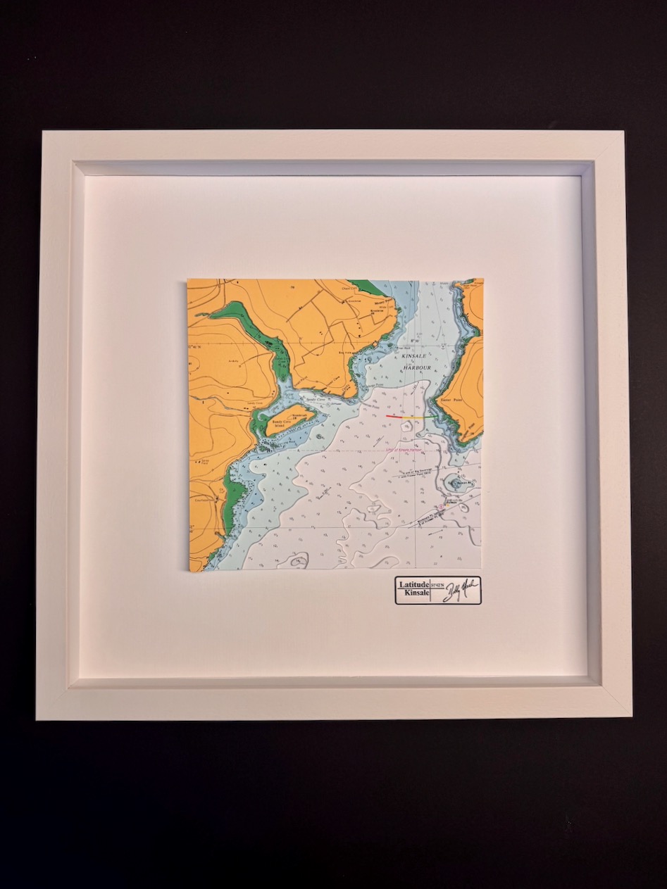
Kinsale Harbour, ORIGINS
This chart belongs to our Origins range. This chart features Kinsale, being home to Latitude Kinsale, is of course our favourite chart location. The town has a very attractive harbour, and on a 3D chart looks wonderful. Kinsale is a historic port and fishing town...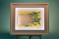
Inner Galway bay
We were thrilled to create this special chart for a client who swam across Galway Bay. To commemorate their incredible achievement, we marked their route on the chart, highlighting both the start and finish points. Inner Galway Bay, located on Ireland’s west coast...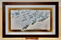
Long Island to Lough Hyne, Walnut frame
Long Island a low-lying island stretching almost 5km in length, but barely a kilometre wide. The body of water parting it from the mainland is called Long Island Channel. It is accessible only by boat. Long Island has a permanent population of no more than 10 people....