
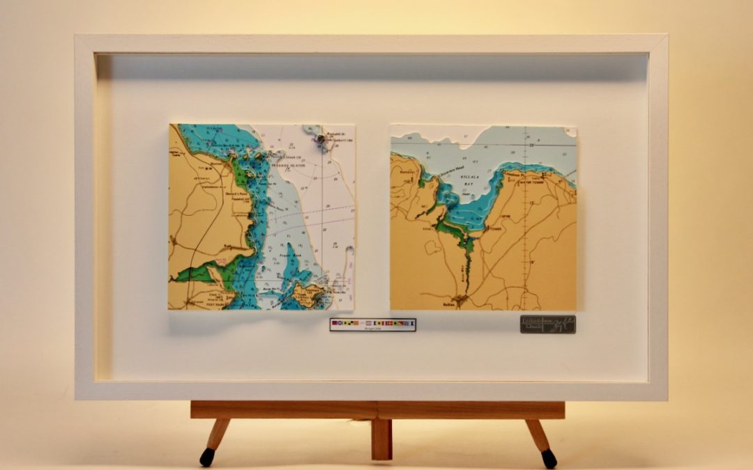
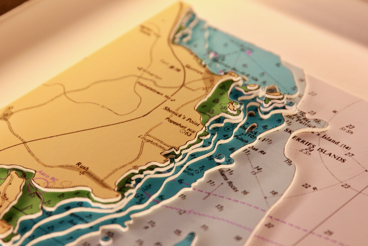
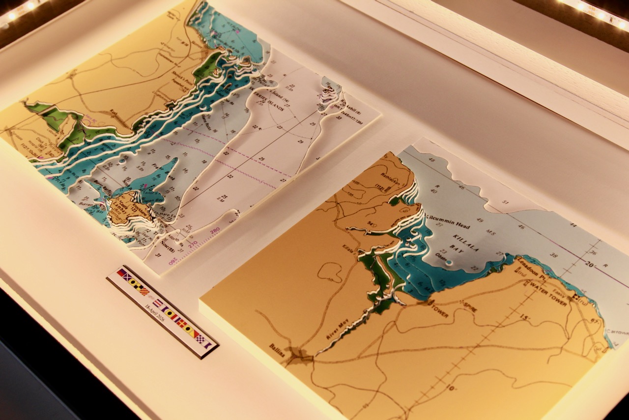
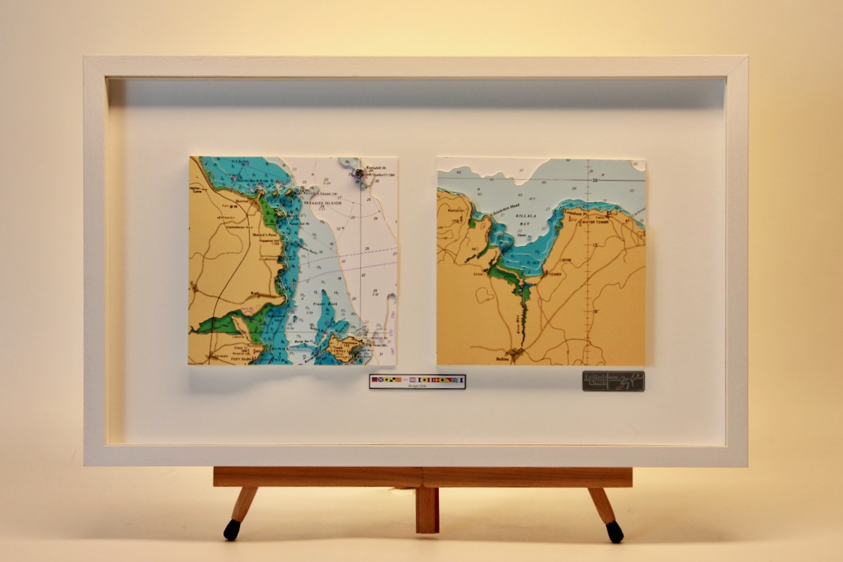

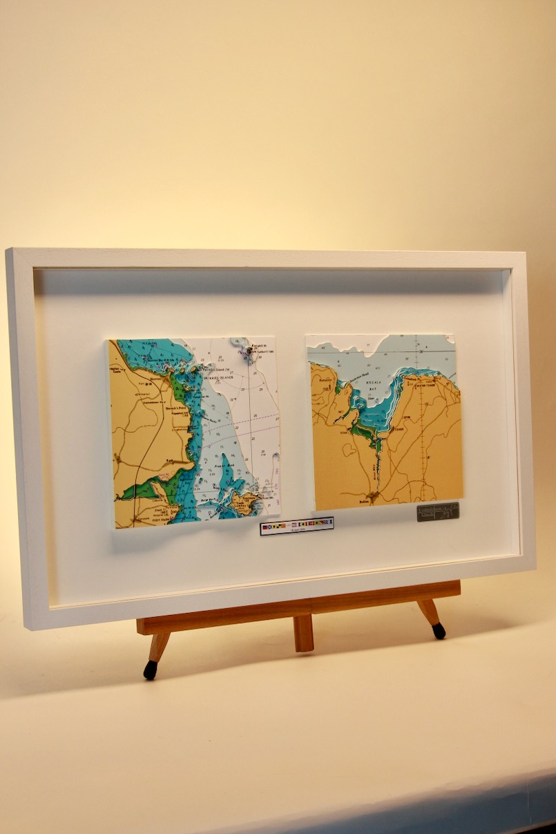
This is our Storyboard Chart Range – Each 3D captures an event which could be a home port, a favourite destination, a funny story, a memorable cruise or whatever you think is worth telling as a story. The events are grouped together in one frame to tell the story. This beautiful chart was for a wedding gift with using nautical flags for their names.
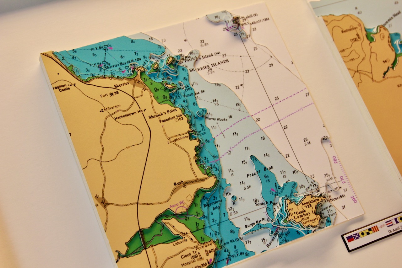
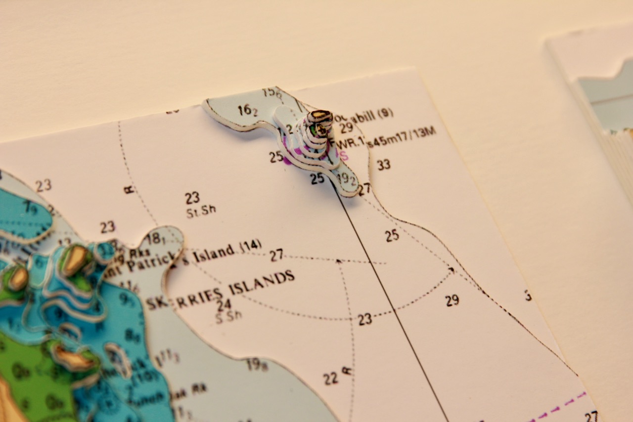
The left-hand chart shows Skerries. The seaside town of Skerries has five islands off its coast. These are Shenick Island, St Patrick’s, Colt and Rockabill. Rockabill is in fact two islands, The Cow and The Calf, separated by a narrow channel. Rockabill is home to Skerries lighthouse. There is also Red Island, which is a tied island. The chart also includes Lambay Island.
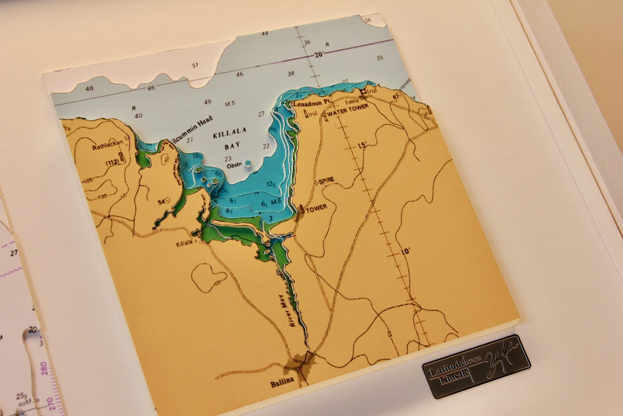
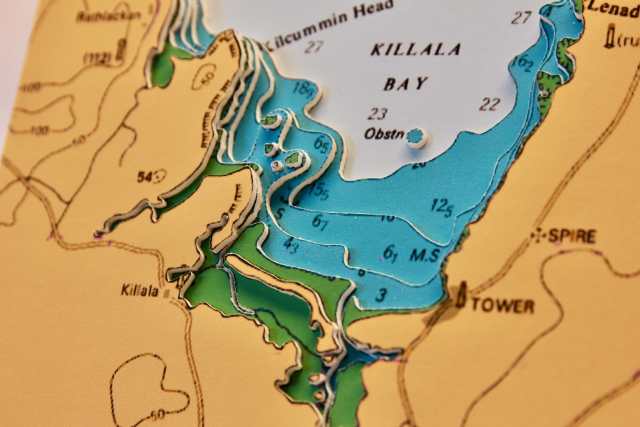
The right-hand chart shows Killala Bay. Killala Bay separates Co. Mayo and Co. Sligo and is the estuary for the River Moy, It situated between Kilcummin Head to the west and Lenadoon Point to the east. Killala village is situated at the southwest corner of the bay.
The chart is finished with a white frame and a white mount.
Specification: Location: Skerries & Killala Bay, Ireland
Chart: Modern Colour, UKHO
Frame: White
Size: 700*500mm
Backing mount: White
Surround lighting – N.A
COMMISSION OPTIONS : Alternative options : Larger size, Colour modern charts. Framing options to suit all settings. Surround lighting with carbon backing. Design to match specific customer requirements.
Bobby Nash developed the Latitude Kinsale brand to be synonymous with quality, innovation and delivering excellence to any location in the world. The 3D chart’s are hand made to commission with care and attention to detail and to exacting standards gained from 20 years of experience. All materials used to create the 3D chart are paper based, acid free, age resistant, conservation quality, designed to protect the chart and achieve the highest levels of presentation for framing.
Any Chart, Anywhere in the World.