
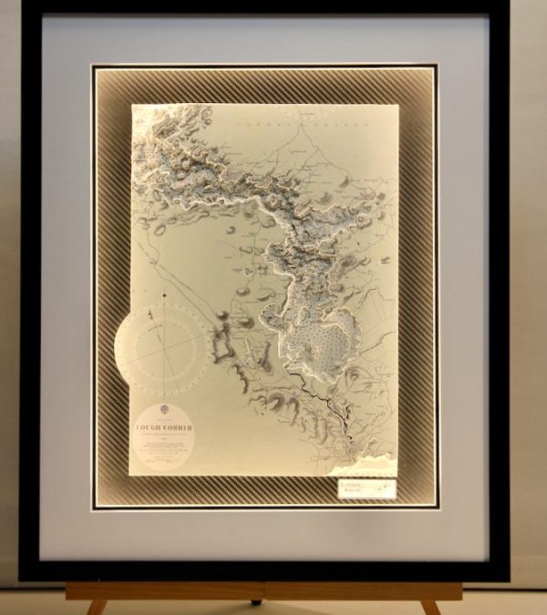



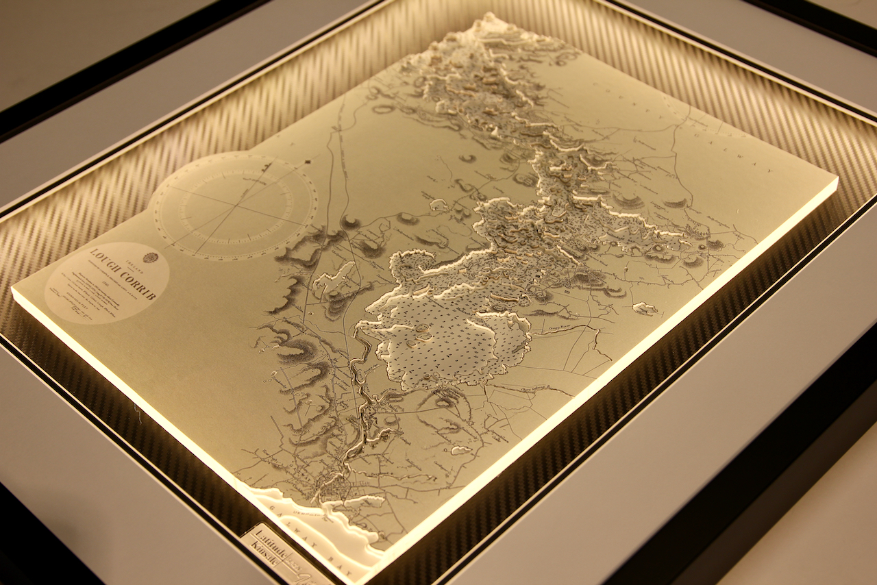

Lough Corrib is a lake in the west of Ireland. It is the second largest lough in the island of Ireland (after Lough Neagh). It lies mostly in County Galway with a small area of its northeast corner in County Mayo. Lough Corrib drains via the Corrib River through Galway City into Galway Bay. The main rivers into Lough Corrib include the River Clare and the canal through the village of Cong, which joins Lough Mask to Lough Corrib.
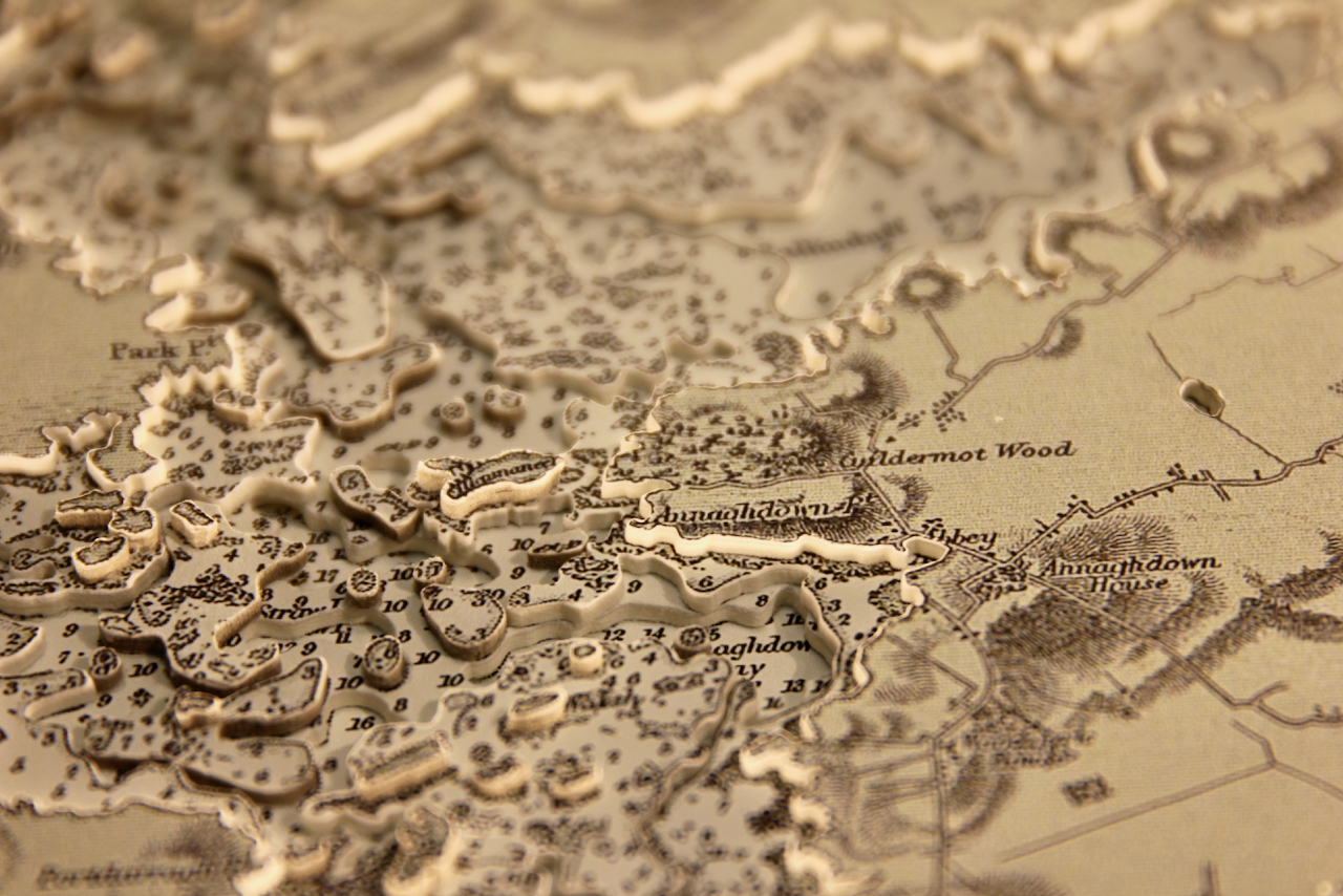
The lake is of international importance as a marine archaeological site. While Lough Corrib is reputed to have 365 islands, a recent more accurate figure is 1327. The most famous of the islands is Inchagoil Island, midway between Cong and Oughterard. It is one of the largest of the many wooded islands along Lough Corrib. The multitude of small islands make this chart very detailed in 3D work and it is a very attractive chart as a result.
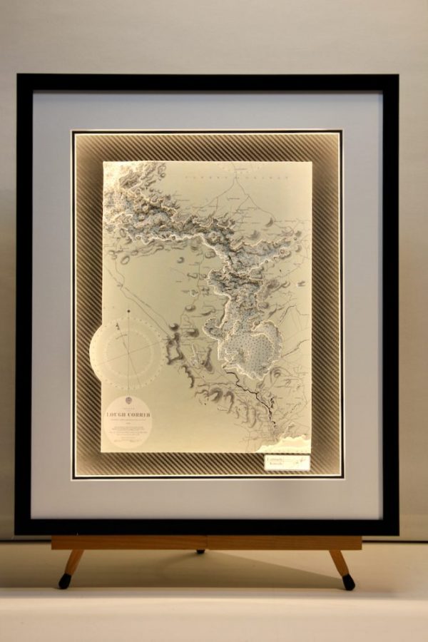
The chart used is a black and white classic from the Admiralty archives. It is set on a carbon fibre background and is finished with a white mount and black frame.
Specification: Location: Lough Corrib Lower, Ireland
Chart: Classic B&W, UKHO
Frame: Black
Size: 700*500mm
Double Surround Mount
Backing mount: Carbon fibre
Surround lighting – LED 12V DC with Mains Interchangeable UK, Euro & US Plugtop
COMMISSION OPTIONS : Alternative options : Larger size, Colour modern charts. Framing options to suit all settings. Surround lighting with carbon backing. Design to match specific customer requirements.
Bobby Nash developed the Latitude Kinsale brand to be synonymous with quality, innovation and delivering excellence to any location in the world. The 3D chart’s are hand made to commission with care and attention to detail and to exacting standards gained from 20 years of experience. All materials used to create the 3D chart are paper based, acid free, age resistant, conservation quality, designed to protect the chart and achieve the highest levels of presentation for framing.
Any Chart, Anywhere in the World.