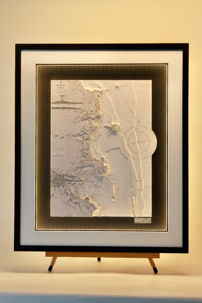
Portfolio
Browse our portfolio of previous commissions for inspiration…
We have completed exciting projects all over the world – the portfolio will give you an idea of what’s possible.
Chart types, framing inspiration, lighting and size all play a part in creating your ideal piece
Click on any chart below to see the gallery of work or use the navigation to the left to see a particular region…
Stockholm
This chart was quite challenging due to the numerous bridges and piers – they are difficult to cut by hand with extreme care. Thankfully the finished result was a very attractive chart. It is complemented with a vinyl carbon background and a white mount with a...
Hong Kong islands and mainland
Hong Kong’s waterways take centre stage in this bespoke 3D nautical chart, with the mainland and its constellation of islands sculpted in layered relief. Victoria Harbour sits between Kowloon and Hong Kong Island, while Lantau, Lamma, and the outlying islets step west...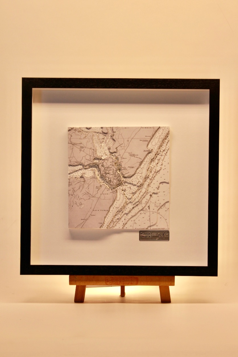
Mombasa, B&W ORIGINS
Mombasa is a coastal city in southeastern Kenya along the Indian Ocean. The town of Mombasa is centred on Mombasa Island, but extends to the mainland. The island is separated from the mainland by two creeks, Port Reitz in the south and Tudor Creek in the north....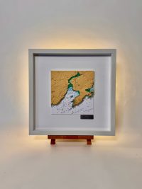
Barley Cove, ORIGINS
This chart from our Origins range features Barleycove, set on the dramatic Mizen Peninsula in County Cork. Barleycove is a sweeping Atlantic bay framed by towering dunes and rolling headlands, its golden sands shaped by historic tidal forces. Nearby Brow Head rises in...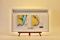
Wexford & Islandmagee, Story Board
This is our Storyboard Chart Range – Each 3D captures an event which could be a home port, a favourite destination, a funny story, a memorable cruise or whatever you think is worth telling as a story. The events are grouped together in one frame to tell the story....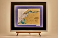
Tralee Bay to Shannon Estuary
This chart is focussed on the west coast of Ireland. It is one of the country’s premier tourist areas. This chart encompasses the area from Tralee Bay to Shannon Estuary. Tralee Bay is located in the west coast of County Kerry, Ireland. Tralee Bay is situated between...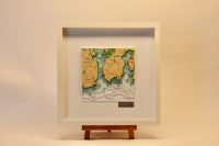
Greatmans & Cashla Bays, ORIGINS
This chart from our Origins range features Greatmans Bay and Cashla Bay along the spectacular Connemara coastline of County Galway, Ireland. Greatman’s Bay (Cuan an Fhir Mhóir) is a secluded, strikingly beautiful inlet known for its wild, unspoiled character. It...
Lough Corrib, Middle
Lough Corrib is the second largest lough in Ireland (after Lough Neagh). It lies mostly in County Galway with a small area of its northeast corner in County Mayo. This chart focusses on the middle section of Lough Corrib. Lough Corrib drains via the Corrib River...