Popular
Lubecker & Mecklenburger Bucht, Fehmarn
The Bay of Mecklenburg (German: Mecklenburger Bucht) is a long narrow basin making up the southwestern finger-like arm of the Baltic Sea, between the shores of Germany to the south and the Danish islands of Lolland, Falster, and Møn to the north, the shores of Jutland...
Curacao
Curacao is a coral‑limestone island with arid hills, rugged cliffs, and sheltered southern inlets. Its coast features deep bays such as Spaanse Bay, Piscadera Bay, and Sint Anna Bay. Offshore, flat, sandy Klein Curacao sits amid turquoise water and surrounding reefs....
Nicaragua & Costa Rica, B&W
Nicaragua is the largest country in the Central American republics, framed by volcanic peaks and expansive waters. It is bounded by Honduras to the north, the Caribbean Sea to the east, Costa Rica to the south, and the Pacific Ocean to the west. Nicaragua. It features...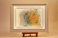
Scotland
The Scottish Hebrides is an area of outstanding natural beauty and we have received many commissions for 3d charts to date. The Hebrides are a rugged archipelago off western Scotland, divided into the Inner and Outer Hebrides, featuring islands like Lewis, Harris,...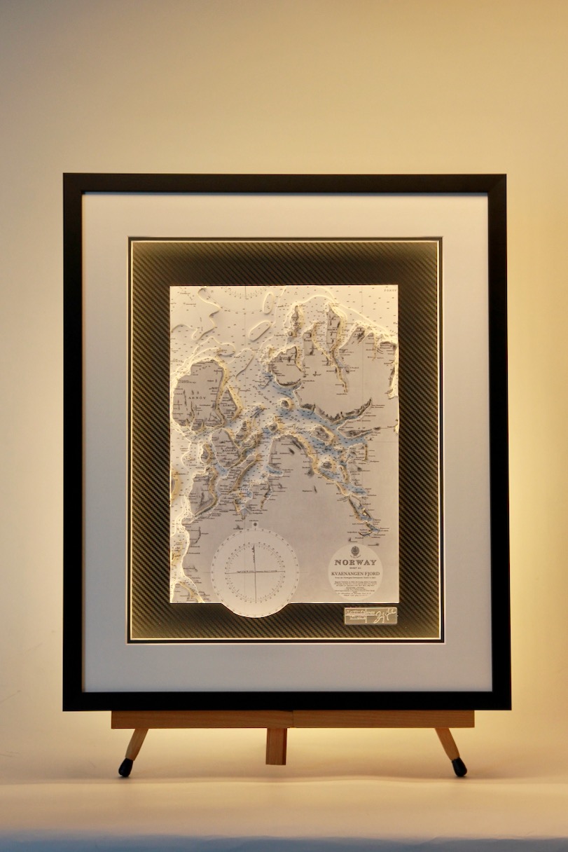
Kvaenangen Fjord, Norway
Kvænangen Fjord is a major waterway in Troms og Finnmark county, Northern Norway, cutting deeply into a dramatic landscape shaped by glaciers and steep cliffs. Stretching 72 kilometers from the Norwegian Sea to the village of Kvænangsbotn, the fjord is fed by the...
North Sea Southern Section, Light Chart
This sector light chart features North Sea Southern Section with a black frame. Nautical charts have instant appeal to anyone with an interest in the sea. The Coastal Light Chart transforms the nautical chart into an active and decorative piece of art. The...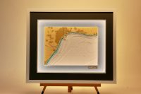
Malaga
Málaga is a vibrant, sun-drenched port city on southern Spain’s Costa del Sol. As the birthplace of Picasso, it blends rich history with modern culture. Boasting beautiful Mediterranean beaches, a lively culinary scene, and dynamic art museums. The 3D chart brings...
Anvil point to Littlehampton
This is a lovely black and white chart from the Admiralty archives. It incorporates the area of the South of England coast between Anvil Point, Selsey Bill and east as far as Littlehampton. Bournemouth, Southampton, Portsmouth, River Hamble, Lymington, Chichester and...