Popular

Ireland, Colour
This lovely chart features Ireland, being home to Latitude Kinsale. Ireland is an island in the North Atlantic Ocean, in north-western Europe. It is separated from Great Britain to its east by the North Channel, the Irish Sea, and St George’s Channel. Ireland is the...
Galley Head to Old Head of Kinsale
This lovely chart features a very popular part of West Cork from Galley Head to Old Head of Kinsale, with the village of Clonakilty as the focal point. It includes the main town of Inchydoney and Courtmacsherry and all the villages in between. The notable beaches and...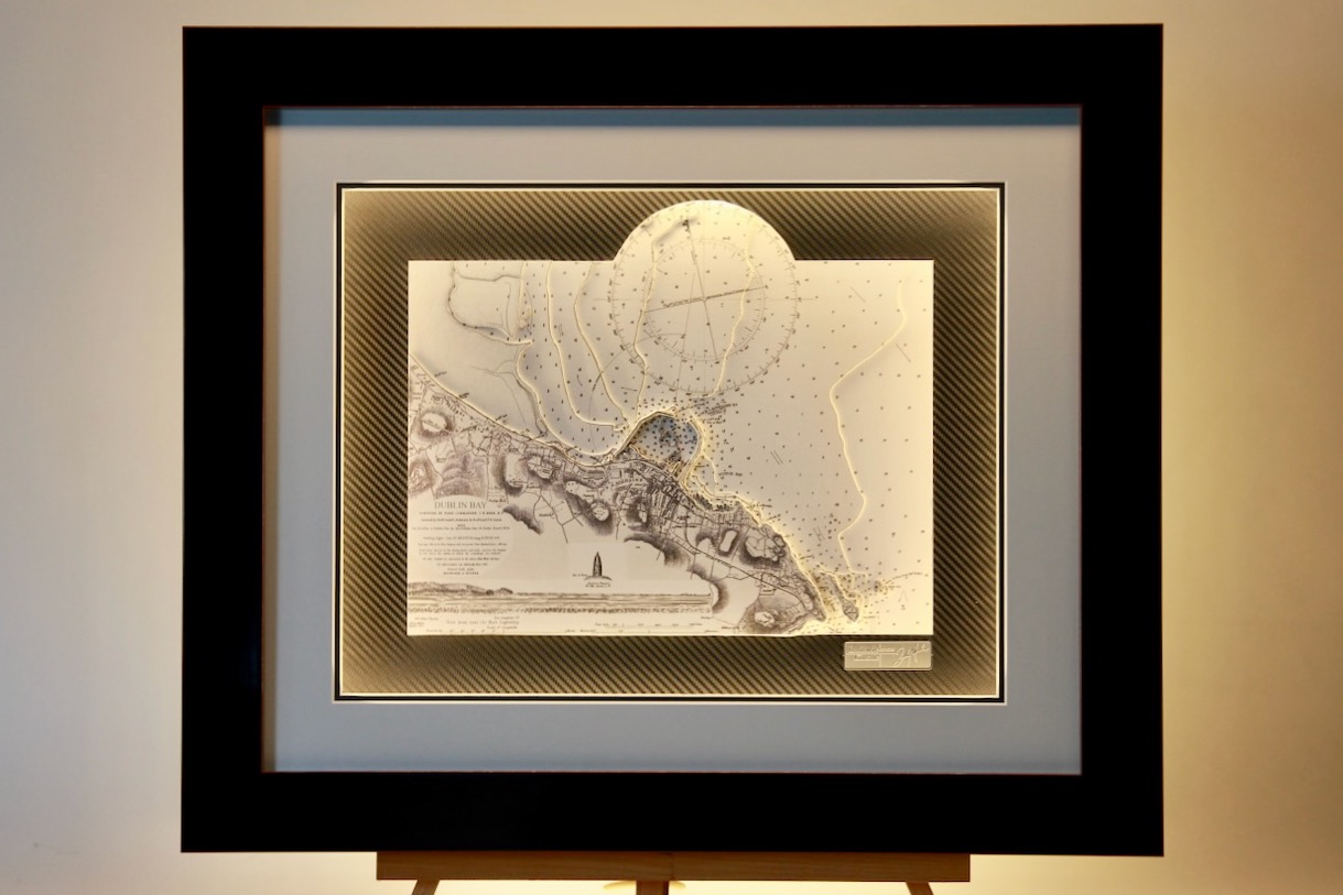
Dunlaoghaire
This is a very attractive 3D chart of Dunlaoghaire, a coastal town in County Dublin, Ireland, is known for its historic harbour, scenic waterfront, and vibrant cultural scene. The chart also includes Dalkey Island and Muglins. This is one our most popular Irish charts...
Kenmare to Cork, Insert Satelite Cork, Light Chart
This sector light chart features Kenmare River to Cork Harbour in Ireland with a brushed silver frame. Kenmare, It is an abundantly scenic part of Co. Kerry that separates the Iveragh Peninsula and the Beara Peninsula, it lies at the meeting point of two noted Irish...
Fenit Island, ORIGINS
This chart belongs to our Origins range. This chart features Fenit Island. Fenit Island, located in Tralee Bay, County Kerry, Ireland, is a small populated island connected to the mainland by a sandbar. Historically known as “Fenit Within,” it encloses...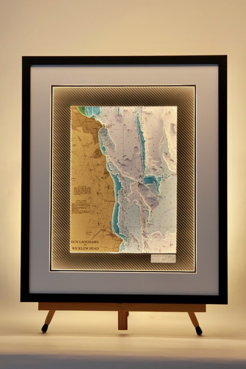
Dun Laoghaire to Wicklow
The coastline from Dun Laoghaire to Wicklow offers stunning views of the Irish Sea, with rugged cliffs, sandy beaches, and charming seaside towns. It features scenic walking trails, historic harbors, and wildlife-rich headlands. Highlights include Bray Head,...
Dublin Bay B&W
Attached are photos of two versions of the same area.Both stunning black and white charts of Dublin Bay. The Dublin coastline is beautifully portrayed with the city as its central focal point. Howth Head forms the northern boundary of Dublin Bay. The island of...
Broad haven Bay
The Mullet Peninsula or sometimes known as the Erris Peninsula is a large promontory connected to the mainland at Belmullet, on the northwestern coast of Co. Mayo. Its highly indented coastline creates a fascinating 3D chart. The peninsula’s doglegged shape forms two...