
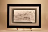
North Sea/ Baltic / Norwegian
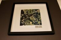
Bovallstrand Sweden, ORIGINS
This chart from our Origins range features Bovallstrand, Sweden, Bovallstrand sits on Sweden’s Bohuslän coast, surrounded by granite skerries, sheltered archipelago waters, narrow inlets, and low islands, forming a classic west‑coast landscape shaped by glacial rock,...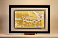
Stockholm
This chart was quite challenging due to the numerous bridges and piers – they are difficult to cut by hand with extreme care. Thankfully the finished result was a very attractive chart. It is complemented with a vinyl carbon background and a white mount with a...
Zuider Zee URK Lighthouse
This lovely chart was commissioned for the old lighthouse in Urk island. We were asked to make a chart with a very rare precious B&W chart from 1852. At one time the island of Urk was in the centre of the Zuider Zee and of great importance to mariners. This was a...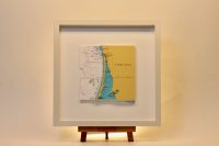
Kursiu Klaipeda Lithuania ORIGINS
This chart belongs to our Origins range. Klaipėda is a port city in Lithuania, where the Baltic Sea meets the Danė River. Kuršių nerija (The Curonian Spit) stretches from the Sambia Peninsula on the south to its northern tip next to a narrow strait, across which is...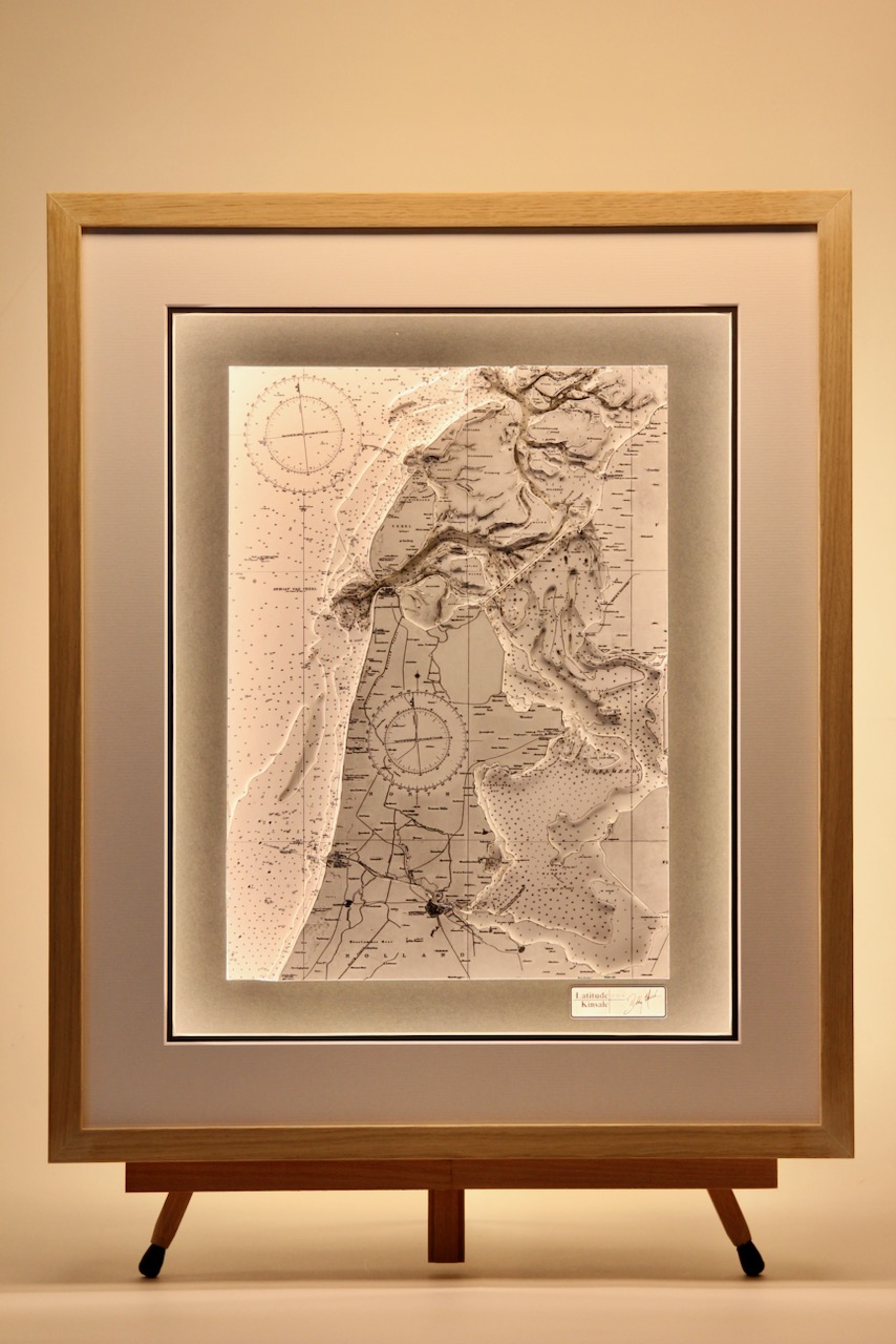
The IJsselmeer (Lake IJssel)
The IJsselmeer also known as Lake IJssel in English, is a closed off inland bay in the northern and central Netherlands. It covers an area of 1,100 km2 with an average depth of 5.5 metres, the IJsselmeer is the biggest lake in Netherlands. What is special about the...
Texel to Schiermonnikoog
The Wadden Islands, also known as the Frisian Islands form an archipelago at the eastern edge of the North Sea in northwestern Europe, stretching from the north-west of the Netherlands through Germany to the west of Denmark. The islands shield the mudflat region of...
Hanöbukten bay, Sweden
Hanö Bay (Swedish: Hanöbukten) is a sandy bay, stretching from Listerlandet in the north to Stenshuvud in the south, on the east coast of Skåne, South Sweden. The north-eastern part of the bay consists of the Blekinge archipelago with coastal deciduous forest . The...
Zuider Zee
This lovely chart was commissioned for the old lighthouse in Urk island. We were asked to make a chart with a very rare precious B&W chart from 1852. At one time the island of Urk was in the centre of the Zuider Zee and of great importance to mariners. This was a...