

Popular

Praslin, Seychelles
This chart features Praslin, which is the second largest island in the Seychelles, in the Indian Ocean. The island is 4 km wide and 11 km long and is 40 km northeast of Mahé Island. Praslin is granitic in origin and mountainous. Praslin is home to Praslin Island...
Portland Bill
The Isle of Portland and Portland harbour form the central focal point for this 3D chart. It is the southernmost point of the county of Dorset. A road-bridge connects it to Chesil Beach and the mainland. Portland Harbour is the second largest man-made harbour in the...
Portsmouth, ORIGINS
This chart belongs to our Origins range. This chart features Portsmouth. It is 118.3 km by road from central London 80 km west of Brighton and 40 km east of Southampton. Portsmouth is the UK’s only island city. As a significant naval port for centuries, Portsmouth has...
Plymouth, ORIGINS
This chart belongs to our Origins range This chart features the city of Plymouth, which lies central on the chart. The rivers Tamart and Plym are shown either side of the city. Plymouth is a busy port for both commercial and leisure-craft. It also connects England...
Oahu, Hawaii
This chart features Oahu, which is of volcanic origin, is the third largest of the Hawaiian Islands. It is occupying an area of 1,546 square km. The capital is Honolulu, It is the only U.S. state outside North America, the only state that is an archipelago, and the...
Liscannor Bay, ORIGINS
This chart belongs to our Origins range This chart features Liscannor Bay. Liscannor Bay is a bay on the west coast of Ireland in County Clare. Hag’s Head provides the northern border for the bay and Cream Point is the southern boundary. The village of Liscannor...
Ireland, ORIGINS
This chart belongs to our Origins range. This chart features Ireland, being home to Latitude Kinsale. Ireland is an island in the North Atlantic Ocean, in north-western Europe. It is separated from Great Britain to its east by the North Channel, the Irish Sea, and St...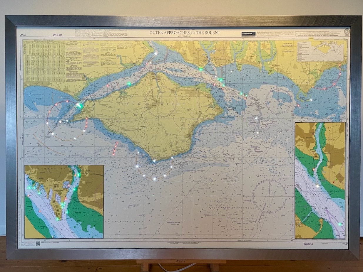
IOW & Hamble Light Chart
This sector light chart features The Isle of Wight, one of our most frequently requested coastlines of the South of England. The insert, on the bottom left-hand corner shows Southampton. The bottom right-hand corner shows Hamble-le-Rice. The charts are sourced from...