Popular

Cork Harbour B&W
Cork Harbour is a natural harbour at the mouth of the River Lee in Co. Cork. It is one of the largest natural harbours in the world. It has been a working port for centuries, and is one of Ireland’s major employment hubs. Cork City is located upstream on the River Lee...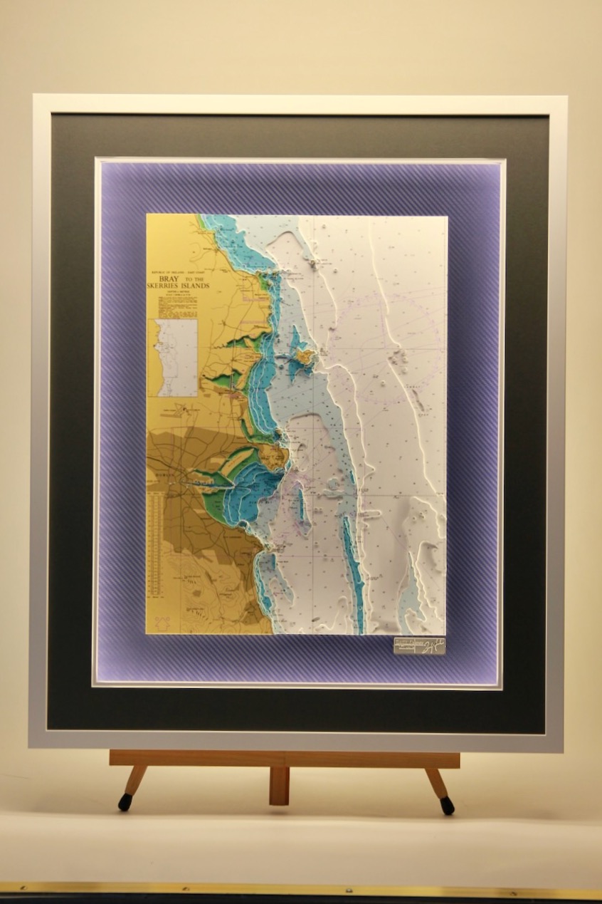
Bray to Skerries Islands
This is a wonderful chart of the east coast with Dublin City at its centre. It showcases so many landmarks of the area including Dun Laoghaire piers, Lambay Island, Howth Head, Dublin Bay, the Bull Wall, Killiney and Bray. At the top of the chart, Skerries Islands can...
Loop Head to Slyne Head + Insert North Bay Galway Light Chart
This sector light chart features Loop Head to Slyne Head. The insert shows North Bay in Galway. The insert is a nice feature and gives prominence to a chosen location while maintaining the perspective of the ‘bigger picture’. Click to watch the video Nautical charts...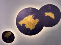
Balearics, Trinity Gold Coast
These are beautiful charts from the Gold Coast range featuring Balearics. The gold leaf is painstakingly applied to an aluminium composite, and then the nautical chart is printed as a “negative” as in traditional lithography. The effect is stunning. The land is...
Firth of Clyde
The Firth of Clyde encompasses many islands and peninsulas. It encloses the largest and deepest coastal waters in the British Isles, sheltered from the Atlantic Ocean by the Kintyre peninsula which encloses the outer firth in Argyll and Ayrshire, Scotland. This part...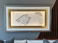
Balearics B&W
This lovely chart was commissioned for the superyacht Princess S72. We always work closely with our clients to ascertain their preferences and ensure it complements their interior. The chart features the Balearic Islands and was designed for his main cabin. I’m...
Urk Island
This lovely chart features Urk island. We made a 3D chart with a very rare precious B&W chart from 1852. At one time the island of Urk was in the centre of the Zuider Zee and of great importance to mariners. Urk is now a charming fishing town in Flevoland,...
Scotland West Coast
This part of Scotland is an area of outstanding natural beauty. The coastlines are so indented that it adds to the complexity of creating a 3D chart but also ensures that the finished piece is stunning. Western Isles, Gaelic Eilean Siar, council area of Scotland, in...