

Popular

Antigua Insert
Antigua is located in the middle of the Leeward Island in the Eastern Caribbean, to the south are the islands of Montserrat and Guadaloupe, and to the north and west are Nevis, St. Kitts, St.Barts, and St.Martin. Antigua’s coastline is intricate, with bays and...
Zuider Zee URK Lighthouse
This lovely chart was commissioned for the old lighthouse in Urk island. We were asked to make a chart with a very rare precious B&W chart from 1852. At one time the island of Urk was in the centre of the Zuider Zee and of great importance to mariners. This was a...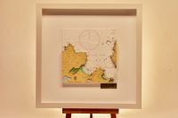
Sheephaven Bay, ORIGINS
This chart belongs to our Origins range. This chart features Sheephaven Bay, which is centred on the chart. It is shallow inlet on the north coast of County Donegal in Ireland, in between the peninsula of Rosguill to the east and Horn Head to the west. Horn Head...
Isles of Aran
This is a very attractive 3D chart of the Aran Islands. The Aran Islands are a group of three islands located on the west coast of Ireland at the mouth of Galway Bay. From west to east the islands are: Inishmore the largest; Inishmaan the second-largest;...
Mumbai
Mumbai lies at the mouth of the Ulhas River on the western coast of India, in the coastal region known as the Konkan. It is on a narrow peninsula on the southwest of Salsette Island (Sashti Island), which lies between the Arabian Sea to the west, Thane Creek to the...
South Maalhosmadulu Atoll
The Maldives is a fascinating area. More than 1,000 coral islands make up the 26 ring-shaped atolls in the Indian Ocean. The archipelago is the surface of a huge submarine mountain range. This chart concentrates on the South Maalhosmadulu Atoll. It was a challenging...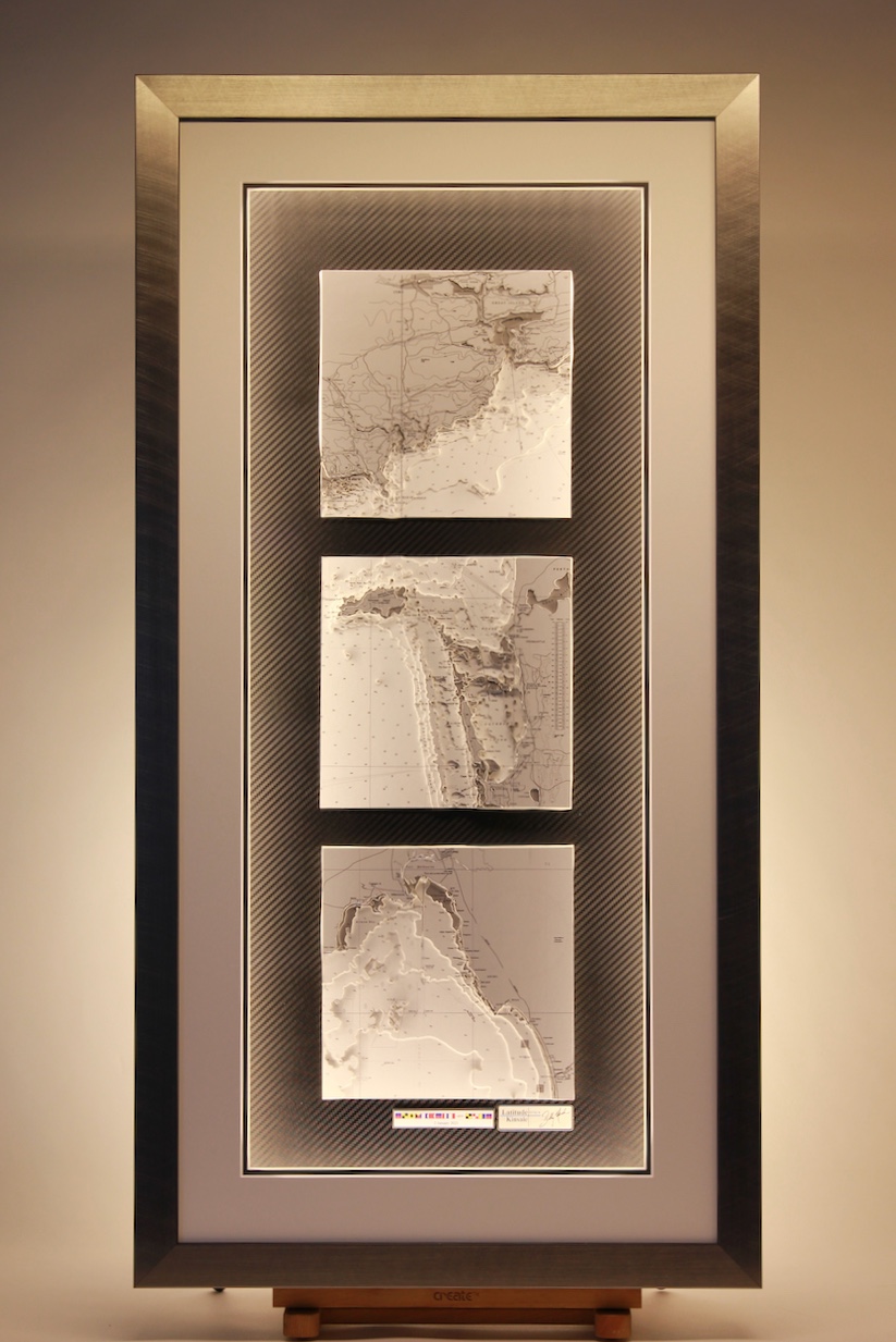
Ireland & Australia, Storyboard
This is our Storyboard Chart Range – Each 3D captures an event which could be a home port, a favourite destination, a funny story, a memorable cruise or whatever you think is worth telling as a story. The events are grouped together in one frame to tell the story....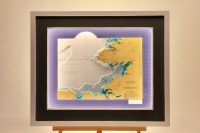
Donegal Bay, Colour
This is a lovely large chart of Donegal Bay in the northwest of Ireland. The town of Donegal and the River Eske lie at the head of the bay. Donegal Bay is Ireland’s largest bay, and also contains Ulster’s highest (and Ireland’s’s second-highest) sea cliffs at Slieve...